Trailering from Seattle to Iowa: 5 days and 2000 miles
On the last evening before this massive trip, the house was ready for the exit. The freezer and hot tub are shut down, the refrigerator is nearly empty, and the last of the garbage is ready to be put on the curb for the morning pickup. Laurie’s car is in the garage, a feat that has never occurred in the 22 years that we have lived in the Marysville house. The boat is rigged for travel; the trailer is greased and hitched to the truck. The Dodge Truck is lightly packed with the dinghy, traveling supplies and the support system for Boots, the cat.
We have said the good-byes to family, friends and neighbors over the last few days. This trip was different for the others in the sense of connectivity. Each of us had a cell phone and the Verizon aircard allowed the laptop to be connected to the Internet nearly all of the time. We are gone physically but remain close, personal and accessible by the radio frequencies.
We have a short-term itinerary and this seemed to work for us. We will try for 500 miles a day with the first stop near Missoula Montana, the second night in Sheridan Wyoming, the third near Sioux Falls, South Dakota, and then near Davenport, Iowa. We travel best when we have a blend of predictable patterns with the opportunity for spontaneity. We want to make progress, pace ourselves, yet not let the schedule become the trip.
The alarm went off at 0445 and both us did not sleep well due to the pre-trip anxiety, but we were up and working the last list that resulted in pulling out of the driveway at 0615 hours. We had our first challenge at the beginning of the second hour on I-405 near Bothell when we saw smoke coming from one of the trailer brakes on the passenger side. We pulled to the shoulder and I saw liquefied grease coming from the front wheel hub and this dripped on the hot disc brakes. Soon the grease was gone and the brakes cooled, so the smoke was gone.
We limped cautiously to a nearby tire store where they pulled the wheel, did an inspection, and determined that nothing was amiss. Their conclusion was that the brakes had overheated in the stop and go traffic, causing the grease to heat and liquefy where it oozed past the grease seal. We checked that there was sufficient grease in the bearing and with no charge by the garage; we were off an hour later. For the rest of the day, I watched those bearings and checked their temperature with an infrared thermometer at every stop because excessive heat is often the first symptom of a major problem.
Seattle traffic was maddening of course and we were glad to clear Issaquah and head east on I-90. We drove to 6 pm and found a Forest Service campground near Missoula Montana. We were all tired and though we had stopped for gas twice, Ellensburg and Post Falls Idaho, lunch at the rest area in Ritzville and one rest stop, it was still a long day. It was a day of several firsts: Boots had spent more than an hour in the truck, Laurie drove the truck and trailer for the first time over some scary passes in Idaho, the Tug had never been on the road longer than an hour and never east of the Cascades. On the first day, we drove about 450 miles, the trucked earned 9.1 miles to the gallon and our speed was mostly 50 to 55 miles per hour.
Mountains to Plains Photo: the Corn Palace in South Dakota
We were on the highway at 0830 hours and an hour later were getting gas in Missoula, Montana. After Missoula, we stopped at Grant-Kohrs Ranch National Historical Park at Deer Lodge, Montana for a short tour of the largest ranch in Montana during the late 1800’s. Laurie drove from there and in the next 90 minutes crossed a huge pass and we traversed the Continental Divide. She was definitely out of the apprenticeship stage of boat trailer driving. After a quick lunch, we pushed on hoping to make Sheridan, Wyoming to meet Norb Hattendorf whom we had an email conversation with about boating. At 6 pm we decided that we were too tired and elected to stop for the night at Harden, Montana at a KOA. The green tugboat perched on her saltwater trailer was the talk of the campground and only the second boat to stay the night this year.
We woke up to sunlight and it was COLD! A quick shower (but the restroom was heated) and after a phone call from Norb in Sheridan, we decided to meet them for a late breakfast at the Perkins Restaurant there. It’s funny how complete strangers can have so much in common. We had a great chat and they looked all over the boat as the Ranger Tug is on their short list of a trailerable boat.
Crossed into South Dakota and it was very beautiful and not at all what we thought it would be like. We stopped at the visitor center on the border and were treated to great customer service by two older women, who being helpful was probably their second nature. We proceeded on through Sturgis, South Dakota and were not overly impressed with the idea of the largest motorcycle rally in the world. The countryside moved from rolling hills, to a sea of grass, with the famous Black Hills on the horizon. We saw a distant Devil’s Tower that was probably thirty miles away and it was still impressive.
The interstate now headed due east through more rolling grass and the constant billboards advertising Wall Drug in the town of Wall, South Dakota. That would have to be our overnight stop because the day was getting late; fatigue was setting in and there was little to nothing following Wall for a while. We arrived at the Arrow Campground, (Good Sam member) and the helpful employee put us in a tent site because we were completely self-contained for $16.
The following morning, we left Wall and started the long crossing of South Dakota. The country was varied and interesting. South Dakota does visitor information and rest areas very well. They have also taken the concept of a tourist trap to whole new level.
Laurie was enthralled with the corn palace in Mitchell, South Dakota and so we pulled off the freeway only to be stopped by a South Dakota trooper at the off-ramp. After the normal drill of license and information, he said that our right turn signal on the trailer was not working. As he was writing out the written warning, I scraped off some corrosion and the signals were working again. We navigated the tug and trailer through the city streets to the corn palace that is used as a sports arena and concert venue.
We crossed into Central Time and lost another hour. In the falling dusk of light, we crossed into Iowa and found a campground in Shelby. The showers were hot; it had power and water and was inexpensive. We were behind schedule because we are driving about 450 miles a day. Still getting 9.5 miles per gallon.
Welcoming a Saturday, we got up at 0630 to fog and heavy dew and were on the road by 0800 hours; it always takes us 90 minutes to get everything ready. Most of the morning was driving in thick fog and then suddenly, it was gone. We spent the day crossing Iowa and had lunch and got diesel for the boat at a truck stop near Davenport. Laurie was making use of the Mac and the wireless card in doing the research for fuel and history of the area.
Laurie had decided that the best launching place was a small marina up river of Davenport, Iowa called LeClaire. It had been referred to her by another marina and we wanted a level of service that could care about us and our truck and trailer. We arrived at LeClaire, Iowa Marina at about 2PM and met Jim and Cindy who run the marina and are down to earth and friendly. They live on-site in a small house next to the marina office and the boat launch. Their marina is home to about 50 boats. They know everyone and are more like mayors of a small town than business owners.
We woke up to sunlight and it was COLD! A quick shower (but the restroom was heated) and after a phone call from Norb in Sheridan, we decided to meet them for a late breakfast at the Perkins Restaurant there. It’s funny how complete strangers can have so much in common. We had a great chat and they looked all over the boat as the Ranger Tug is on their short list of a trailerable boat.
Crossed into South Dakota and it was very beautiful and not at all what we thought it would be like. We stopped at the visitor center on the border and were treated to great customer service by two older women, who being helpful was probably their second nature. We proceeded on through Sturgis, South Dakota and were not overly impressed with the idea of the largest motorcycle rally in the world. The countryside moved from rolling hills, to a sea of grass, with the famous Black Hills on the horizon. We saw a distant Devil’s Tower that was probably thirty miles away and it was still impressive.
The interstate now headed due east through more rolling grass and the constant billboards advertising Wall Drug in the town of Wall, South Dakota. That would have to be our overnight stop because the day was getting late; fatigue was setting in and there was little to nothing following Wall for a while. We arrived at the Arrow Campground, (Good Sam member) and the helpful employee put us in a tent site because we were completely self-contained for $16.
The following morning, we left Wall and started the long crossing of South Dakota. The country was varied and interesting. South Dakota does visitor information and rest areas very well. They have also taken the concept of a tourist trap to whole new level.
Laurie was enthralled with the corn palace in Mitchell, South Dakota and so we pulled off the freeway only to be stopped by a South Dakota trooper at the off-ramp. After the normal drill of license and information, he said that our right turn signal on the trailer was not working. As he was writing out the written warning, I scraped off some corrosion and the signals were working again. We navigated the tug and trailer through the city streets to the corn palace that is used as a sports arena and concert venue.
We crossed into Central Time and lost another hour. In the falling dusk of light, we crossed into Iowa and found a campground in Shelby. The showers were hot; it had power and water and was inexpensive. We were behind schedule because we are driving about 450 miles a day. Still getting 9.5 miles per gallon.
Welcoming a Saturday, we got up at 0630 to fog and heavy dew and were on the road by 0800 hours; it always takes us 90 minutes to get everything ready. Most of the morning was driving in thick fog and then suddenly, it was gone. We spent the day crossing Iowa and had lunch and got diesel for the boat at a truck stop near Davenport. Laurie was making use of the Mac and the wireless card in doing the research for fuel and history of the area.
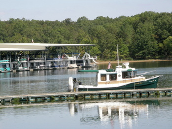
Laurie had decided that the best launching place was a small marina up river of Davenport, Iowa called LeClaire. It had been referred to her by another marina and we wanted a level of service that could care about us and our truck and trailer. We arrived at LeClaire, Iowa Marina at about 2PM and met Jim and Cindy who run the marina and are down to earth and friendly. They live on-site in a small house next to the marina office and the boat launch. Their marina is home to about 50 boats. They know everyone and are more like mayors of a small town than business owners.
The Start of the River Trip
Jim told us about lateral dams in the river, which are gravel, and rock walls that run parallel to the river shore. In the whole length of the Mississippi, there are only two portions that have lateral dams and LeClaire is one of them. So, we received our piloting instructions to stay near the lily pads and then go between the two large rock piles!
By the time we walked back to the truck and trailer from our conversation, two couples were looking over the tug and we spent 45 minutes talking with them and giving them a flyer. We launched the Laurie Ann in the river at about 3:30PM and Jim assigned us to a slip nearby. The ramp was steep but the river was only 3.5 feet deep at the marina and with no tidal action, it was going to stay that way. The depth of the river would take some getting used to.
It took about five hours to get the boat mostly ready. I worked on the dingy and had to do some modifications and repairs. Laurie went to the local LeClaire store to restore the supply of perishables. We had chats with local boaters and an offer to go north on the river with another boater because the scenery up river was breath taking. We learned about the terminology of a “pool” or the water between dams. Also, “wing dams” or the gravel and rock bars those are perpendicular to the shore and the advice to enter a marina at 90 degrees from the main channel rather than from an angle to avoid sand bars and rocks. We also saw our first barges, tall and long and are the masters of the river.
Finally, at 10:37 PM, Laurie pronounced, “I am now on vacation.”
Time To Cast Off The Lines
We awoke to clear blue skies and a fresh breeze at 0700 hours. We had cereal for breakfast and then we split up to accomplish the pre-trip tasks: Laurie was off to the Laundromat and I cleaned the inside and outside of the boat and finished the dingy installation work. I had a 30-minute conversation with a local boater who talked of building a welded aluminum boat and doing a big trip like the one we were about to start. He had the tinge of wanderlust that will never be in his voice; words of intentions and desires but circumstances and history that is probably stacked against him. You find people like him at the bars, on decks overlooking the water eyeing the traffic and dreaming of being on one of those boats, weighing the “coulda-shoulda-woulda’s” of the past.
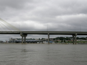
Laurie came back just I finished up and the temperature was now in the low 70’s and climbing. We warmed up, zeroed the trip log and recorded the engine hours at 157 hours. We called the lockmaster on the VHF radio and were told to check back when we were closer. We were nervous about the impending Lock and Dam 14 and eased out in 3 feet of water, staying close to the lilly pads and heading for two rock piles that are the break in the lateral dam. Those rock piles were only 100 feet apart and seemed like one of the narrowest passages that we have ever made. Easing on through, we made for the main channel, motored up and went between the red and green buoys. The river is wide but the channel that is guaranteed to be 9 feet deep is much narrower.
Laurie came back just I finished up and the temperature was now in the low 70’s and climbing. We warmed up, zeroed the trip log and recorded the engine hours at 157 hours. We called the lockmaster on the VHF radio and were told to check back when we were closer. We were nervous about the impending Lock and Dam 14 and eased out in 3 feet of water, staying close to the lilly pads and heading for two rock piles that are the break in the lateral dam. Those rock piles were only 100 feet apart and seemed like one of the narrowest passages that we have ever made. Easing on through, we made for the main channel, motored up and went between the red and green buoys. The river is wide but the channel that is guaranteed to be 9 feet deep is much narrower.
Mississippi River Locks
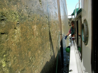
At Lock and Dam #14, we called the lockmaster on the VHF radio and he told us to enter the lock when the gates were open and he told us to tie up to the “Iowa side” of the lock. I was suspicious that Mike at the marina had called ahead and said this couple in the cute tugboat was coming and they were from Seattle and never had locked before. They put lines down at the control house and Laurie and I each grabbed one. I am glad the Ranger Tug has wide opening windows for I reached out the window and held my line. We held on to the line as the water dropped about 12 feet. We learned where to position the fenders and were thankful that we got the big balloon style of fenders because it kept the boat off of the slimy lock wall.
Laurie heeded the advice of those before us and made little gift bags to give to the lockmaster. She left them on the lock wall before we descended. I think this paid off at the next lock, Lock and Dam 15 about 10 miles later when I called the lock, perhaps too late for this cycle, and after a pause, the lockmaster said to stand by as they were lowering the water now. We idled around for about 15 minutes until the signal was given to enter the lock. Then, on the radio, we heard another boat call that wanted to lock though, was about 15 minutes away, and the lockmaster said that there was a two-hour wait. As we left Lock and Dam 15, a huge barge and towboat was waiting to enter.
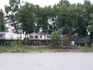
We proceeded downstream following the buoys of the main channel, passing riverboat casinos, industrial areas with huge plant operations, small parks, ramps and people jetting around in their go-fast boats. We saw riverfront houses that were quaint and built up on full basements or pilings which tell a tribute to the power of the river. We learned more about how the electronic charts work and what the symbols really mean.
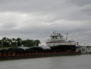
We had to overtake our first towboat that was pushing 12 barges at a speed of 7 knots. After rehearsing the dialogue necessary over the radio, I keyed the mike only to learn from a kind voice that towboats monitor another specific VHF channel. When we called on that channel, a polite towboat captain told us on what side of his boat he would like us to pass. After the successful pass at out 9.5 knots, and giving high-fives to everyone on board the Laurie Ann, we found our destination on the curve ahead, Fairport Landing/Marina and Lighthouse Restaurant on the outskirts of Muscatine, Iowa.
Laurie’s research showed that very few ports was reachable after this location and though it was a short day of 32 miles, it was a good time to stop and enjoy the stop. The marina was about a dozen slips angling into the river, not protected by a breakwater. The employee’s shed on the gas dock was empty and Laurie walked up to the nearby restaurant to ask for instructions. She was told that the dockmaster would be around soon. Their attitude was true river like: relaxed, no hurry and no worries. We were dwarfed by the much larger craft; we looked like a full-size tug had been washed in hot water and dried on the high setting. But like everywhere we had taken the Laurie Ann, people came to look and ask questions and this sparked more conversations, which are part of the point of the trip. Today, 16 people came and looked at the boat
We BBQ’d a steak in the waning hours, enjoying the wide river off or our transom and after the sunset, we watched Harry Porter on the small laptop screen with the big sound of the boat stereo system.
Laurie heeded the advice of those before us and made little gift bags to give to the lockmaster. She left them on the lock wall before we descended. I think this paid off at the next lock, Lock and Dam 15 about 10 miles later when I called the lock, perhaps too late for this cycle, and after a pause, the lockmaster said to stand by as they were lowering the water now. We idled around for about 15 minutes until the signal was given to enter the lock. Then, on the radio, we heard another boat call that wanted to lock though, was about 15 minutes away, and the lockmaster said that there was a two-hour wait. As we left Lock and Dam 15, a huge barge and towboat was waiting to enter.
We proceeded downstream following the buoys of the main channel, passing riverboat casinos, industrial areas with huge plant operations, small parks, ramps and people jetting around in their go-fast boats. We saw riverfront houses that were quaint and built up on full basements or pilings which tell a tribute to the power of the river. We learned more about how the electronic charts work and what the symbols really mean.
We had to overtake our first towboat that was pushing 12 barges at a speed of 7 knots. After rehearsing the dialogue necessary over the radio, I keyed the mike only to learn from a kind voice that towboats monitor another specific VHF channel. When we called on that channel, a polite towboat captain told us on what side of his boat he would like us to pass. After the successful pass at out 9.5 knots, and giving high-fives to everyone on board the Laurie Ann, we found our destination on the curve ahead, Fairport Landing/Marina and Lighthouse Restaurant on the outskirts of Muscatine, Iowa.
Laurie’s research showed that very few ports was reachable after this location and though it was a short day of 32 miles, it was a good time to stop and enjoy the stop. The marina was about a dozen slips angling into the river, not protected by a breakwater. The employee’s shed on the gas dock was empty and Laurie walked up to the nearby restaurant to ask for instructions. She was told that the dockmaster would be around soon. Their attitude was true river like: relaxed, no hurry and no worries. We were dwarfed by the much larger craft; we looked like a full-size tug had been washed in hot water and dried on the high setting. But like everywhere we had taken the Laurie Ann, people came to look and ask questions and this sparked more conversations, which are part of the point of the trip. Today, 16 people came and looked at the boat
We BBQ’d a steak in the waning hours, enjoying the wide river off or our transom and after the sunset, we watched Harry Porter on the small laptop screen with the big sound of the boat stereo system.
Down the River to Fort Madison, Iowa
The next day and within the second hour, we were at Lock and Dam 16 and waited about 45 minutes for a barge with a huge load to move through the Lock in two stages. The barge had started locking through at 0730 hours and we were glad that we did not try to make an earlier run because we would have waited and nothing would have been gained. Sometimes, life has its own pacing and just enjoying it, casting aside one’s own agenda, just works out best.
After Lock 16, the wind picked up from the north and stayed with us for the rest of the day. Periods of rain came and went and some intensified to a very heavy downpour, but the boating was safe, comfortable and easier than we had experienced in Puget Sound because the river stayed flat and wave-less. The air temperature stay in the low 60’s but with the Ranger Tug’s engine heat-fed cabin heater, we kept the inside of the Laurie Ann a comfortable 70-72 degrees. The additional electric fan above the windows generally controlled the window fogging. The boat traffic on the river was non-existent.
Twenty miles after Lock 16 came Lock 17 and we waited almost an hour for another huge barge to lock through. The wind would push as around the dam pool and we moved from idle to low speed, moving up the dam pool and away from the lock and then let the wind push us back down again when we would repeat the tactic. We found the scenery to be an interesting mix of wilderness and industrial. Long stretches of nothing, then a mass of trees and flocks of birds and then coal-fired power plants, big industrial complexes with empty barges lining their wharfs, waiting for loading, unloading or just in waiting.
At Lock and Dam 18, they had opened the gates and were waiting for us. The Lock pool was bumpy and rolling because of the 15-knot wind and the wind waves were pushing us in, but our confidence and experience, plus the bow and stern thrusters, made us handle the boat like pros as we eased against the concrete lock wall, our ball fenders protecting the smooth surface of the boat’s gelcoat. At all of these locks, the lock staff waited on the edge of the Lock with a coiled rope where they wanted you to be and then handed you the line.
River Scenes
Along the way, we had a leisurely lunch. Laurie drove when I ate and visa-versa. For 10 hours, the boat engine never stopped its reliable running and we covered 70 miles but the trip was not tiring or stressful. The role of the pilot or skipper is to keep the boat in the main channel as it moved from one side of the river to the other, operate the VHF radio and talk to the towboats, and monitor all the gauges and operating systems for early signs of trouble. The boat also should slow down when overtaking fishing boats because of the huge wake that we made.
The navigator is also quite active. There are three guidebooks to review, birds and landmarks to identify, and plans to make about where to get fuel and where to stay the night. That means cell phone communication, gathering data and assessing all the information while helping to keep a forward lookout. The navigator is also handling the food and drink needs. The Laurie Ann goes slow enough to make the trip restful but fast enough to keep it interesting and active.
We talked to two towboat pilots about what they wanted us to do and we talked to a railroad bridge operator who opened the swinging bridge just before Fort Madison, Iowa and that was a first for us: the 25-foot Laurie Ann brought traffic to a stand still between Iowa and Illinois for a brief period of time. We arrived at Fort Madison, Iowa at about 5:30 PM to the city dock and Captain Kirk’s Bar and Grill.
On to Hannibal, Missouri
The next day, the river was flat, like a glistening, fluid countertop, with almost no wind, the temperature was in the high 70’s and we cruised through three locks and passed two towboats. The day was relaxing as the Laurie Ann cruised at 10 miles per hour past farms, ramps, an occasional industrial plant, small villages and the larger City of Quincy. In the locks we had two more firsts: a huge lock that had floating cleats to hook onto (never tie onto) and we had fashioned a rope system to accommodate it and the lock crew who paid us no mind and did not throw us a line to hold the Laurie Ann to the lock wall-so we floated around in the lock pool as the water level dropped 10 feet. Once again, no instructions or directions, you just have to know and go with the flow.
Laurie spotted eagles, flocks of white pelicans, and great blue herons. We arrived in Hannibal, Missouri at about 6 PM to a marina with a very small entrance, docks on the sand from the very low water. The marina was nearly empty and we learned that there was no charge to spend the night and that made great sense, reduce the cost caused by employees needed to collect fees and enforce compliance, and send the message of welcome to stay here for free. We met the first of many friends on the river, John and Sharon from Moline, Illinois who were taking their 30-foot houseboat to the Kentucky Lake for the winter. They sought us out to see the Ranger Tug and we had a nice conversation.
The next morning brought clear skies and a medium breeze from the north and down the broad river. After breakfast, we took a walk through the historic part of Hannibal where nearly every name has some connection to Mark Twain, Samuel Clemens or a character from his writings. Once you got beyond that, the place was interesting. We hiked the stairs up to the lighthouse, panting, resting on the overlooks and wondering how we got so out of shape so quickly. The height of the levies, the uprooted trees, and waterline high on the sides of building create an appreciation of the flooding that occurred in the spring when the river was very high, destroyed the marina and topped the levy walls.
Exploring Is The Fun
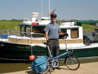
We set up the folding bikes and biked through the old town into the working part of the town to a local grocery store. We biked to Trinity Episcopal Church and came to understood the financial struggles of a very small congregation with roots going back decades in the community. How does a church honor its roots and history while staying relevant to the present and being a potential force in the future?
We returned to the boat, unloaded the bike bags, and had lunch. Later, we biked up the long gradual hill, leaving the historic river town behind us, through the once vibrant downtown, to the new highway. Our community character is as different has the vanilla ice cream sold in Safeway stores. I was struck on how the car was the center of the culture. When you are outside of this central artifact, the car, you realize how much noise, how much pavement, and how isolated people become from everything else. It was comforting to return to the marina and to the simpler life on the boat.
We returned to the boat, unloaded the bike bags, and had lunch. Later, we biked up the long gradual hill, leaving the historic river town behind us, through the once vibrant downtown, to the new highway. Our community character is as different has the vanilla ice cream sold in Safeway stores. I was struck on how the car was the center of the culture. When you are outside of this central artifact, the car, you realize how much noise, how much pavement, and how isolated people become from everything else. It was comforting to return to the marina and to the simpler life on the boat.
Port Charles and St. Louis, Missouri
On a Thursday, we awoke to a moderate rain and fog. We eased out of the marina, found the current had picked up, the immediate impact of the rainstorm, and so to keep our desired speed of 10 miles per hour, we throttled back from 2600 rpm to 2400 and then to 2200 rpm. These decisions were about fuel economy and not about speed. Right now, we are on track to have a range of 200 to 225 miles on our 75-gallon tank. We went through three locks on this leg of the trip. Each lock staff was a bit different from the chatty to the indifferent. In each lock, we were the only boat, so we would “float around” in the pool and used the bow and stern thrusters to keep the Laurie Ann aligned in the lock.
We had a long day but the motoring was easy. At times, the river was narrow and long, and then it was wide with curves. The river was never the same from one place to the next. The river’s temperature was 71 degrees and the air temperature was in the low 80’s but the breeze caused by the movement of the boat made the trip comfortable.
Late in the day, with only an hour of light left, we found the shallow and narrow cut to the Port Charles Harbor that is north of St. Louis. The banks of the cut were foreboding with huge boulders placed to stop erosion. Once inside, we found the harbor to be the home of big boats, mostly under cover roofs of sheet metal, and the spot described to us via phone was there and waiting for us. Though the staff had gone home, we still felt welcomed. Perhaps, that is the test of good customer service: you still feel it even when the employees are gone.
The mosquito netting side panels were put up, took a great shower, and enjoyed the evening. A rental car was booked online with Enterprise Rental Car so we could enjoy St. Louis tomorrow.
We were awakened in the middle of night by heavy rain hitting the hatches. I closed them and the windows but left several only slightly opened because of the heat and mugginess. That was a mistake for when morning broke, there was water below those open windows.
High Water is Common Here
After breakfast, Laurie started the laundry and I went to the marina office where I encountered amazing customer service. I filled up the water tank and thought that 30 gallons used in 5 days was pretty good. We plugged the boat in and turned the systems from 12 volt to 120 volts.
Enterprise Rental arrived to pick me up and take me to his office in St. Charles to fill out the paperwork. When I asked the employee about his story, a 10-minute monologue ensued which I found interesting. He is 28 years old, grew up in St. Louis and never left. But he is bored and restless. I offered one piece of unsolicited advice: always run to something and not away from something. After the paperwork and heading out of the car lot, I tossed the Internet directions aside and relied upon the personal directions from the marina staff. I found those to be quick, easy and effective. Technology is no replacement for relationships and the magic of the human learning organism.
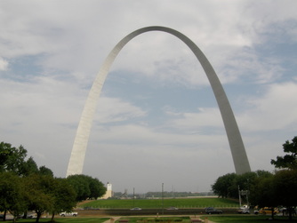
After picking up Laurie, we were off to St. Louis to see the places where we met and worked 31 years ago. The name of the park is the Jefferson National Expansion Memorial. A name that does not make any sense and was probably created by a committee of well-intentioned federal employees. But they missed the mark on this one because it is neither memorable nor accurately describes what the park is. If I were the grand Emperor, the park would be called Gateway Arch National Historical Park.
We enjoyed the Gateway Arch, the museum and the Old Courthouse. We talked, held hands, spoke the names that we had thought were long forgotten and spoke to two rangers. When we left the Old Courthouse, the afternoon heat and humidity quickly soaked our shirts and dripped sweat from our faces. We went to the old neighborhoods. Again, we walked the old streets and sidewalks, held hands, remembered the stories and were glad that it all happened the way that it did.
We headed back to the boat and arrived to a sleepy cat and the heat and mugginess that can put a damper on one’s attitude. The aftermath of Hurricane Ike was coming up the Mississippi River Valley and we decided to hunker down at this marina for another night to await its affects. The next day, I scrubbed the outside of the boat and got rid of the “Mississippi River Mustache” on her bow. We showered, Laurie started reading the Sunday paper, and I waited for the storm.
Enterprise Rental arrived to pick me up and take me to his office in St. Charles to fill out the paperwork. When I asked the employee about his story, a 10-minute monologue ensued which I found interesting. He is 28 years old, grew up in St. Louis and never left. But he is bored and restless. I offered one piece of unsolicited advice: always run to something and not away from something. After the paperwork and heading out of the car lot, I tossed the Internet directions aside and relied upon the personal directions from the marina staff. I found those to be quick, easy and effective. Technology is no replacement for relationships and the magic of the human learning organism.
After picking up Laurie, we were off to St. Louis to see the places where we met and worked 31 years ago. The name of the park is the Jefferson National Expansion Memorial. A name that does not make any sense and was probably created by a committee of well-intentioned federal employees. But they missed the mark on this one because it is neither memorable nor accurately describes what the park is. If I were the grand Emperor, the park would be called Gateway Arch National Historical Park.
We enjoyed the Gateway Arch, the museum and the Old Courthouse. We talked, held hands, spoke the names that we had thought were long forgotten and spoke to two rangers. When we left the Old Courthouse, the afternoon heat and humidity quickly soaked our shirts and dripped sweat from our faces. We went to the old neighborhoods. Again, we walked the old streets and sidewalks, held hands, remembered the stories and were glad that it all happened the way that it did.
We headed back to the boat and arrived to a sleepy cat and the heat and mugginess that can put a damper on one’s attitude. The aftermath of Hurricane Ike was coming up the Mississippi River Valley and we decided to hunker down at this marina for another night to await its affects. The next day, I scrubbed the outside of the boat and got rid of the “Mississippi River Mustache” on her bow. We showered, Laurie started reading the Sunday paper, and I waited for the storm.
Hurricane Ike and its aftermath. Photo: a dinghy nearly full of rain water
Laurie heard it first and woke me up at about 0300 hours on that early Sunday morning. The rain was coming down hard so we turned on the lights and re-checked all the windows and hatches. Boots hunkered down on the carpet floor, in full alert status and could not be consoled. We fell back asleep as the rain and wind continued to build, the boat gently rocking against the lines and fenders. We never felt at risk at any time. By sunrise at 0630, the rain was the hardest that I had seen in a long time and the north wind was a steady 30 knots with gusts to 40 or more.
That meant the rain was mostly horizontal and coming into the cockpit of the Laurie Ann. We had purposely left up the mosquito netting snapped around the cockpit because this provided tension to the whole cockpit canvas. The rain was coming through the netting and hitting the lower 2/3 of the glass door that was covered by 5 feet of canvas. I donned storm gear and re-checked the lines and the canvas. In 45 seconds, I was soaked, but protected by the gear, from head to toe.
Through the storm and for the next 5 hours, the gauges told an interesting story. The humidity hovered around 85%, the temperature was about 70, and the barometer dropped and then started to rise. The depth under the boat started at 4.6 feet and 12 hours later was 9.6 feet. Hurricane Ike had picked up a lot of water in its travels and was dumping it quickly. We had also purposely left the dingy in the water and when the storm cleared to only wind and clouds by 1 pm, the 8-foot inflatable boat had at about 25 gallons of water in it. The wind abruptly shifted from north to west as the left over’s of Hurricane Ike moved north-northeast into Ohio.
After the passing of the central storm cell, we took a walk and saw all of the standing water. We talked with the marina staff and later called the staff at the locks and tried to call the marina that would be our next stop to gather data about the situation. We knew from the data that the very low river was rising quickly and that peak flooding would occur in the next two to three days. We also talked about getting the truck and trailer from the Green Gables Marina in La Claire, pulling the boat and trailering it to Kentucky Lake on the Tennessee River. If we did this, we would avoid the long runs between marinas and the possibility of debris in the river from the flood. Through the afternoon, we looked at data and discussed the options, but no final decision was made.
After we learned that many of the roads through the corn fields that connect the marina to nearby St. Charles were flooded, we decided to not attempt to go church or to further explore the area, but to hunker down so we watched a Harry Potter movie on the laptop and again used the boat’s sound system: small screen and big sound. By late afternoon, clear skies had come and gone and the wind picked up again.
Now being cutoff from the rest of the area, we walked the neighboring boatyards and marinas. The time of year and the harder economic times caused the big play toys, the massive boats, to be pulled on the hard and winterized. The boatyards were deserted as we walked by these towering displays of wealth and fun. We had more talk of pulling the boat onto the trailer to avoid the unknown and that is what we love about this boat, it gives us more options. We BBQ’d burgers and veggies on the grill and settled in for the evening.
Flood Waters Blocked Our Way At St. Louis Photo: Alton, Ill Marina
We were up and out of the Port Charles Marina by 0800 hours. The river had risen by nearly 7 feet since our arrival and the marina staff was preparing for a big flood. Already, several ramps to the docks were off their concrete pads and support cables were stained under new forces that were not anticipated when these were designed and installed.
When we motored into the main river channel, the current was strong and forceful and we did some quick turns to avoid trees and debris that were coming downstream at a quick clip. Limbs and trees were pushed over, cast up against banks, and strewn about in what were formerly lawns at the riverfront houses. The power of the river was seen in the quick change of conditions since our arrival only days before and the height of the flood was still to come. The top of the river was flat, without waves or whitecaps but the muscle and power of the water was in its volume and relentless urgency to flow southward.
In 25 miles, we came to the city of Alton, Illinois and their new marina. The river was running a steady 5-knot current that was double what we had previously experienced. We continued past Alton, under the high arch of the freeway bridge and into the nearby lock chamber at the Melvin Price Dam. As we approached the opened gates, we were stunned by the huge flotilla of logs and debris that clogged the chamber, reaching from wall to wall with only narrow passages in the center.
We had no choice but to use the fiberglass hull of the tug to push through the debris. I picked the route based upon the choice of inflicting as little damage as possible. We idled and coasted into a log and then slowly pushed it. When one was cleared, we moved on to the next, gaining slow forward progress. Already in the chamber were a towboat and one barge. The lock staff did not give us a line to hold onto because they knew it was pointless under these conditions. We descended easily and when the gates opened, we were greeted by more heavy debris.
The dam was a choke point for debris and as we passed through it, the river debris lessened. Under partly cloudy skies, windless and comfortable temperatures we continued downstream toward St. Louis, mentally preparing for the locks and limited places to stop that lay ahead. We were upbeat about our good fortune and felt that we had not encountered an obstacle that was overly dangerous. As long as we stayed ahead of the rising flood, our safety and progress was assured.
Rivers Are Home to America's Industry
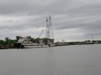
This part of the Mississippi River is dominated by industry. Fuel barges were moored to heavy pilings as they off loaded or received their cargo. Huge, rusting ships lay abandoned on mud flats and docks. There was no activity to be seen and no wildlife to occupy these shores. The river was the property of the machine of commerce and no other users seemed permitted or tolerated.
We found the mouth of the Missouri River by only watching for it on the electronic chart plotter. There is no sign and the wide mouth of the river could easily have been confused with other wide spots on the Mississippi River. We talked of the journey of the Lewis and Clark Expedition as they had pushed their keelboat and support boats up the river from their base camp at Wood River. Here, the land is flat without any hills or vertical relief. When you are on the river, the scene is muddy water, a line of trees and then sky.
A huge sign announced the man-made channel called the Channel of Rocks. This channel was built to by-pass that portion of the Mississippi River that is closed to boats because of immovable rocks. Going right at this junction would surely lead a boat to very shallow and dangerous waters. The Channel of Rocks is eight miles long and about 100 yards wide and lined with large rocks to control the erosion caused by the wakes of the boats. The channel goes through flat farmland created by thousands of years of the river depositing its sediments. The channel is as a straight as a surveyor’s line. We passed under several highway bridges and waved at several fisherman who where seated on the rocks and trying their luck.
The Chain of Rocks Lock and Dam marked the end of the man-made channel and the return to the Mississippi River. We had been monitoring the commercial boat traffic on the VHF radio and when the dam came into view, we announced our arrival. The lockmaster replied that commercial traffic was entering the lock going up-bound and we would need to wait for at least an hour. There were several other towboats and barges in line to head downstream and we were hopeful to go through this lock with them. We idled and coasted around in huge circles, as the gentle wind would push us toward the rocky shore. We had not seen any boating facilities for recreational boaters since Alton. We chatted, listened to the FM radio and snacked.
After about an hour, the lockmaster called us, “Lockmaster to the down-bound recreational vessel.” When we replied, he said, “I cannot lock you through because the river has just been closed to recreational vessels by the Coast Guard due to the flood.” When we asked about the possible duration of the closure, the lockmaster replied, “The length of the closure is unknown but the last time this happened, the river was closed for a week. You better find a secure place to anchor or tie up.”
We were stunned but not immobile. Quickly, we decided to push back upstream to Alton and their marina because there really was no other option except to anchor. We had anchored many times but there was no safe place that we had seen that we would choose to ride out a rising flood for many days. Laurie called the Coast Guard office in St. Louis and did not receive any better information. In fact, the employee on the phone duty did not know that the river had just been closed. The river was predicted to crest in five days and we needed to be out of here.
A Race Against Time and Rising Water
As we headed back upstream, we fell in behind a towboat as it pushed one barge. We were pushing our tug’s diesel engine to its safe limits as we followed behind the towboat. Both of us were going 6 knots upstream and against a 5 knot current. The towboat cleared the river of debris for us until it stopped at a huge docking facility south of Alton.
While working our way upstream, we decided to exercise the ultimate option of having a trailer-able boat: pull the boat and take it by truck and trailer to the next leg of the adventure, Kentucky Lake, Kentucky. We did not care for the option of staying in Alton for at least 5 days and then proceeding downstream on the Mississippi and then upstream on the Ohio River to the Tennessee River at Kentucky Dam. What we were going to miss was 250 miles of heavy industrial scenes on the Mississippi and Ohio Rivers, with only two places for fuel and anchoring in a flooding river because there were no marinas in this section.
At the Melvin Price Lock and Dam, we feared that the lockmaster would not allow us through because the river was closed but the lockmaster was responsive to our request. When the lock chamber opened for us, there was more debris than before but our tug managed to push it and we could hear the painful scrapping of logs on the hull. After transiting the lock, the entrance at the Alton Marina breakwater was a bit confusing at first, but Laurie had called ahead and received a slip number.
As we entered the slip, now late in the afternoon, several boaters who were also doing the Great Loop met us. They had seen us pass by earlier and learned that the river was closed to recreational boaters. They came to look over the Laurie Ann even before we had tied off all of the lines. This was our first introduction to “Loopers” and because we were distracted by our situation and the need to take immediate action to move our tug onto the trailer, we did not immediately grasp the depth of the friendliness. These boaters all had large boats and had been on the Great Circle Loop for months, many of who had traveled together to Alton.
We detached ourselves from the conversations and checked out the nearby boat ramp. It was a new concrete ramp with a floating dock but the rising river would make it un-usable in short order. If we were not going to be stranded in Alton, we needed to get the truck and trailer here soon.
Committed to action, we decided to lock up Boots in the Laurie Ann, rent a car, and drive to the truck and trailer in LeClaire, Iowa for a 280-mile trip over 4 ½ hours away, one-way. At the Enterprise Office, we rented a new Toyota Tundra truck and headed north on the Interstate. We talked and enjoyed the farmland of central Illinois and preceded though the small towns and larger city.
Late in the evening, we arrived at the Green Gables Marina. Mike was up and was prepared for us because he had got the message that Laurie had left on the answering machine. Our truck and trailer was exactly where we had left it. We told Mike to keep the deposit and thanked him. Exhausted, we spent the night at the Super 8 Motel in LeClaire that was only minutes away from the marina.
Overland to Kentucky Lake, Tennessee
At the marina, Laurie drove the Tundra and I took the truck and trailer. We met up in Alton, at about 1130 am. My first look at the ramp was bad news; it was much higher than yesterday but I was determined to make an attempt to put the boat on the trailer. While waiting for Laurie, I got the boat ready for movement and greeted Boots who was a bit grumpy about the whole thing. The trailer was backed down the ramp taking the truck into the flooded water as far as I dared. Then, Laurie arrived and took over the running of the truck while I took the boat out past the ramp and made a first approach to the ramp. This approach failed as the river current was too strong for this angle but we tried again. The Laurie Ann came onto the trailer straight and sure but the trailer still was not deep enough at the ramp to take the tug, so Laurie moved the truck back a few more feet and I powered the boat onto the trailer with the 110 horsepower engine, giving it the full throttle. We were successful and Laurie drove the truck and trailer with the tug perched on her trailer. Within 90 minutes, the boat was rigged for freeway travel as we were watched by a host of public works employees and folks who came to watch the river rise.
With the rental car returned, we were off at mid-afternoon for Kentucky. While I drove, Laurie used her maps and wireless connections to determine our route, options for the night and what the options were in the next few days. At 5:30 PM, we arrived at an RV park in Paducah, Kentucky and that is on the banks of the Ohio River where the Tennessee River joins it. We covered one week’s of river travel in just over five hours. We would later learn that the Loopers at the Alton Marina were stuck there for 10 days.
The crisp fall nights made their debut in Paducah when, during the middle of the night, we got up to put on another blanket. We slept late, undoubtedly due to the intensity of the previous two days. After breakfast, Laurie went on the web and did the business of living, which is still amazing that you can meet your commitments without being physically present. I decided to clean the hull of the Laurie Ann and spent two hours scrubbing off the Mississippi silt, rubbing out scratches and working on a couple of small dings in the green colored gel coat where a log had bumped us in the Melvin Price lock chamber. Aside from these, the tug was in great shape and that is tribute to the quality of the construction.
By noon, we were packed up and headed south on Interstate 24 headed for Kentucky Lake State Resort Park. The Corps of Engineers had built a large dam on the Tennessee River just upriver from its junction with the Ohio River. Behind this dam, a huge lake was formed, Kentucky Lake, that goes about two hundred miles up the Tennessee River.
Starting on the Tennessee River Photo: Kentucky Lake Marina
We arrived at the Kentucky Lake Dam Marina and found a nice but very steep ramp, a huge parking lot, and a large boat marina with many covered slips. But the place was strangely quiet with closed stores and a locked office. We quickly discovered that since the leftovers of Hurricane Ike came through on Sunday, there was no power at this marina and perhaps other places on the lake.
The marina’s manager said that long-term parking is free at the ramp parking lot or behind a locked gate for $3 a day. We decided the free lot would be fine because we had never had an issue with long term parking at a marina lot. We launched the Laurie Ann in the Tennessee River without incident and moved the truck and trailer to its new waiting area next to a number of other trailers, powered up and idled out of the marina and around the breakwater into the main body of the lake.
We noticed immediately that the marking buoys were much smaller in size and the lake depth was no greater than 15 feet. We also had to accustom ourselves that because we were going upriver, that the green and red buoys would be on different sides of the boat than when we were going downstream on the Mississippi River.
We decided to anchor out for the first time on this trip. Anchoring or taking a mooring buoy has generally always been our first option over paying for a marina but the Mississippi River had no option for us but marinas. Kentucky Lake was known for many anchoring opportunities, so we decided on a cove, Sledd Creek, which was close to our launch. Following the directions in the guide books and our electronic chart, we moved into the cove and our depth gauge stopped giving us data and our electronic chart met it’s boundary and then showed us on land. Electronically blind, we stepped back in technology, used a marked line with a weight on it, and determined that we were in 9 to 10 feet of water. This was consistent with the chart depth of 16 feet and the correction caused by the river being 6 feet lower. We anchored easily and enjoyed the warm 10-knot breeze from the north with the air temperature of 84 under cloudless skies.


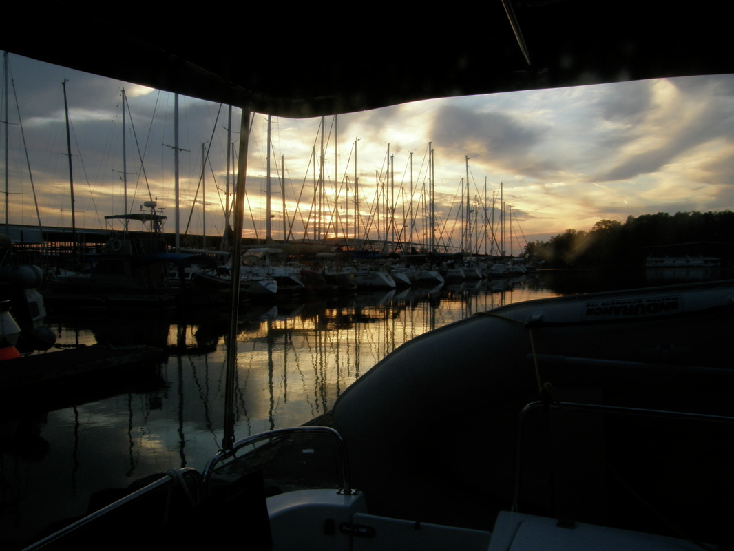
Loopers and Green Turtle Bay Marina
The moonrise on this Thursday was incredible and it was a beam of light that flooded into the hatch over the master berth for much of the night. The lake was smooth as glass and the wind stopped completely by midnight leaving the temperatures to cool to about 58. Mid-morning, we entered the main channel on Kentucky Lake; the depth sounder came back from its vacation and provided a steady reading. We motored sedately along at 6.5 knots following the buoys across the lake, through the canal that connects the Kentucky Lake formed by the dammed Tennessee River and Barkley Lake that is formed by the dammed Cumberland River. We went to Green Turtle Marina on Barkley Lake because it has a 5-anchor reputation in the marina world for its accommodations and it was one of those must-see places.
We tied up in a huge slip with empty ones around us and immediately noticed that our neighbors were also “Loopers” because, like us, they flew the small flag of the American Great Loop Circle Association. We would meet all the Loopers in the area later in the day for a 5 pm, “Bring some munchies to share” social time.
It was lunchtime so we set up the folding bikes and headed to the village of Grand Rivers to eat at Patti’s 1880 Settlement Restaurant and a general tourist attraction because of its reputation for good food. We split a huge meal called “Kentucky Hot Brown” or homemade bread, ham, turkey, tomato, cheese sauce, bacon and covered with homemade potato chips. This was unbelievable and was followed by huge slices of pie. By late afternoon, the temperature had climbed to 90 degrees and it was time to sit in the shade when the Loopers came around to ask about our little tug.
At 5PM, we went to the nearby Gazebo and were joined by 12 other Loopers. There were quick introductions and exchanges of business or “boater” cards that had the people’s name, boat name, email and cell phone number. We needed to make our own card. We heard stories about rough water on Lake Michigan, frustrations with repairs, and the places to not miss. Apparently this leg of the loop is not the most interesting but for us, it has been terrific. From these conversations, we may change our plans about exploring deep into the Cumberland River and perhaps focus on the Tennessee River.
We had a light dinner of soup and veggies. We used the marina’s showers, topped off the water tank and used the electric hook-up to run the cabin cooling system. Laurie spent the evening digesting a large body of information to determine the destination options for the coming days.
Stuff Happens
On every trip, some mechanical thing needs repair or replacement. Knowing that, you hope that the “mechanical thing” is not something major or too expensive and, on the best of days, that you have the ability to fix it yourself. We have met boaters who probably do not have a socket wrench on board. Why bother, when they have the capacity within their checking account to have everything taken care of by someone else. I am different; my desire is to be self-reliant, proud to be a problem-solver, and I am basically cheap. Boaters whimsically refer to “boating units” or translated as thousand dollar increments. Therefore, the cost of a repair is expressed in the number of boating units.
This morning, I was the first one up and had the duty to turn on the water for coffee. But, when the switched was turned to pump fresh water out of the newly filled 30-gallon water tank, nothing happened. So, after coffee and breakfast, I spent 90 minutes with tools and a meter tracing electric power, fuses and digging into a below-floor cabinet to locate the pump motor. Lots of attempts to get water, but no success and we started thinking about backup plans to get water and options on getting this little inconvenience fixed.
I remembered my dad, the electric motor repair company owner, telling a customer that electric motors may not give you a warning that the motor is checking out, they just do. But, I also remembered a lesson that my ace-mechanic friend, exorcist of all mechanical and electric demons, Brad, had taught me during a phone call when I had an electric motor problem: try tapping on it. So, I tapped and the motor groaned reluctantly to life and we had water, at least some of the time.
I have had stellar customer service from the Ranger factory in Kent where our boat was born. So, at 0830 hours, I called them, forgetting that is was 0630 in Seattle. But a pleasant voice answered the phone and said that Andrew, the fantastic customer service manager, was not in yet. She also gave me some suggestions about our problem. Andrew called me when he came in and quickly told me that this pump model has had problems and that it needed to be replaced. Even better, he told that he would ship one out immediately and that the extraction and installation should only take about 20 minutes. I knew that 20 minutes of Andrew time translated to 60 minutes of John time. We hoped that the new pump would arrive tomorrow at the marina.
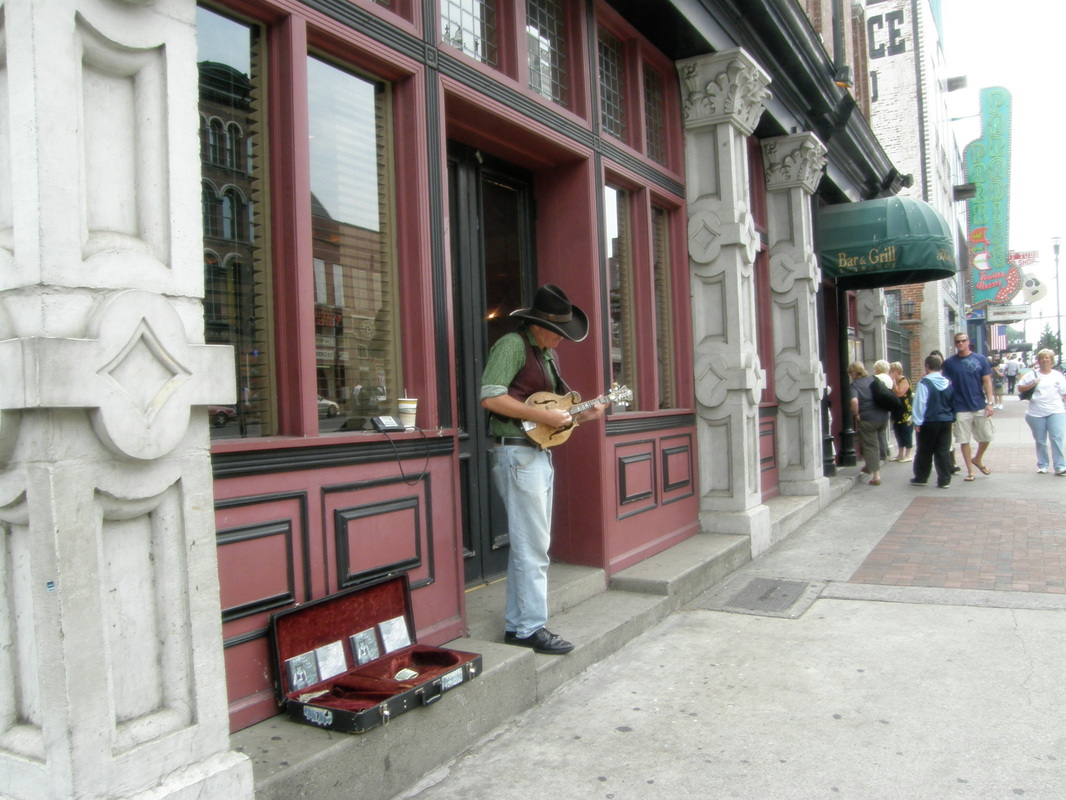

A Day's Visit to Nashville
With Nashville so close and our truck so available, we left Boots with food, water, cooling fans and ventilation, packed up the folding bikes in the truck and headed east on Interstate 24 to Nashville. Enroute, Laurie accessed the information sites via the wireless Internet connection and navigated us to the edge of the downtown district 2 hours later. We bypassed the $15 parking lot fee at the convention center that visitors were directed to and took the $4 parking lot at the downtown library.
For six blocks we walked by honky-tonk bars, tourist gift shops, music shops, country clothing stores (not to be confused with western wear stores) and the combination of historic buildings still in good use, historic buildings converted to tattoo parlors, and new buildings that are very different in style and feel to the historic ones. It is quite clear, that this area must rock with music every night. But in this early afternoon, the sidewalks are mostly tourists with a smattering of curbside and doorway musicians waiting to be discovered by a record producer.
After the museum, we sat in a honky-tonk street corner bar listening to live country music, sipped a beer and munched on spicy chicken wings. We left Nashville with a good feeling and grateful that we drove there rather than motored for three days to get there and three days to get back. We were low on fuel but when we stopped at a freeway gas stop. We arrived back at our floating home to a grumpy cat where Laurie listened to her new CD’s and decided that the tiny Episcopal Church about a mile away would be a good place to start tomorrow.
Slowly Moving upriver
The next day, after a nice visit to the local Episcopal Church, we said good-bye to the truck and trailer, repacked the folding bicycles, topped off the water supply, and with an audience of 4 seven-year-old girls and an adult, we idled out of the marina. Two hours later, we had anchored in a cove on the east side of Kentucky Lake in 20 feet of water and glad to be free of the marinas. Boots surveyed her world, surrounded by water with no dock in sight and promptly took a nap. We buttoned the boat up with shade cloth, opened hatches and windows and hunkered down as the temperature climbed into the low 90’s.
As a testament that there is a strong social component to boating, a couple stopped by in their dingy as they headed back to their 36-foot sailboat that was anchored nearby. From Wisconsin, Kathy and Ned had recently retired and were taking their boat the same route as us and were headed to the Caribbean for plans yet undetermined. We had an hour of nice talk from our cockpit to their dinghy as they described their wait for parts and service. Very nice and genuine people without ego or agenda, something we have seen a lot of in the boaters doing the Loop.
Tomorrow we want to head up river. We have changed our plans to not explore the Cumberland River because the recommendation from the local boaters is to explore the Tennessee instead. We are thinking that the long trip to Chattanooga will be fun. We have noticed that the early fall colors have begun and the color transition can be noticed almost on a daily basis. The Tennessee River is known for its fall colors, scenery and history.
The morning sun burned off a bit of fog in the cove and a couple of hours later after we had done more of the business of living; we hauled the anchor at 1100 hours. We were anxious to get up river headed south up the Tennessee River on Kentucky Lake. This is a huge lake, about 100 miles long, 2 to 5 miles across but the depths are tricky. The main channel’s depth is 20 to 50 feet deep and there are specifically marked crossover channels because the lake can be in the low single digits. You would not know it looking across the lake.
In the mid-afternoon, with the temperature climbing into the low 90’s, the boat seemed to be going slower than 8.4 knots or almost 10 miles per hour. The lake looked liked a huge bathtub with the warm water, dead flat conditions, and the only wind was the one that the boat made. The vessels we saw were suitable for a bathtub, these were bathtub toys: aluminum pontoon boats, competition ski boats, fishing tournament boats with their go-fast motor, their electric bow motor and the custom fishing seats. Then there were the small, flat bottom boats of the career fisherman.
By early evening, we were anchored in Ledbetter cove, adjacent to the Ken-Lake State Park Marina. Again, the depth sounder felt that giving a reading was not necessary, but the chart and a lead line confirmed our 15-foot depth. Before the customary brew, we slid off the swim step into the cool river water and were instantly refreshed. The iced beer then was really good. We BBQ’d hamburgers during the approaching sunset and enjoyed the rowing shells apparently launched by nearby Murray State University. We zipped everything up and plugged the holes because another zillion little flies were approaching.
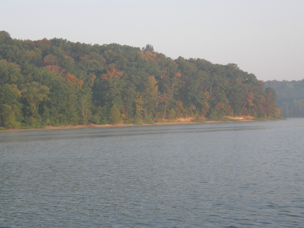
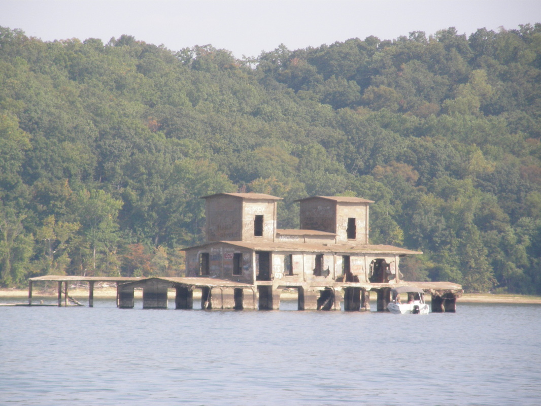
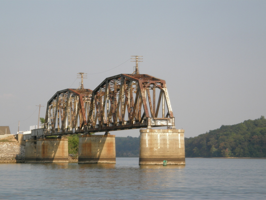
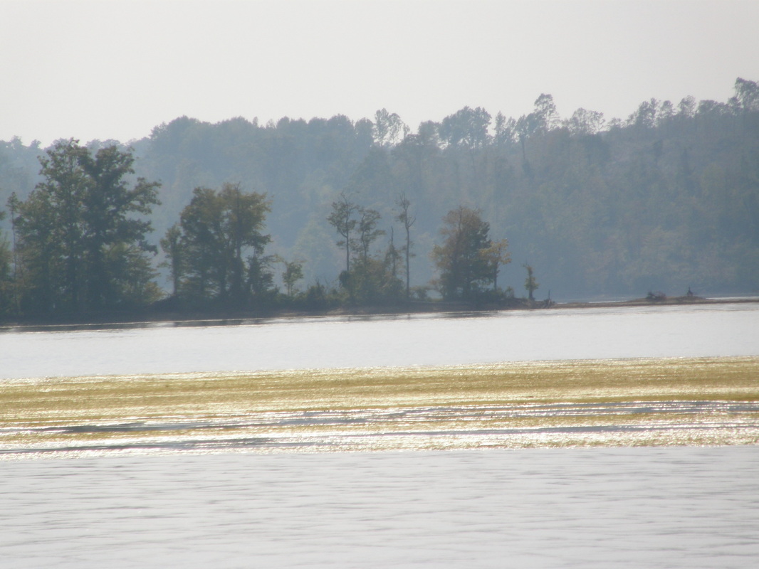
Kentucky Lake Transitions to a River
The bass fishermen were in our cove before we got up. On this river, fisherman are like that and most drive the expensive boats with big engines and have all the bells and whistles that are seen on the fishing channel. During breakfast, Boots walked the bow, jumped on top of the roof and made the mistake of walking on a screen of an open hatch. When the screen gave way, it and a cat fell into the galley and grazed the warming stove. If a cat could blush and be embarrassed, Boots would have been but only her feelings were bruised.
Through the morning we motored upriver on the Tennessee River, southbound, with growing development on the west shore and the U.S. Forest Service managed, Land Between the Lakes National Recreation Area on the east shore. Laurie accessed their website as we went along and provided a briefing of their history, mission and programs. By lunchtime, we were at Parris Landing State Park in Kentucky where Laurie made wraps, Boots ran the dock, and we took a short walk in the climbing heat.
Then onward another 30 miles through rural Tennessee as the maps and books that Laurie had assembled showed very few substantial roads and very small communities. The river was wide but now beginning to look less and less like a lake and more like a river with shoals, islands, and a meandering main channel from one shore to another. We enjoyed a nice, cooling breeze as the tug motored along at 8.4 knots. Laurie picked out egrets and saw a flock in a large tree that from a distance looked like small snowballs on a large Christmas tree. By 4 PM, the temperature had risen to 93 degrees, the water was dead flat, and though our speed had not changed, it seemed like we had slowed down.
In the late afternoon, we arrived at Pebble Isle Marina that is 96 miles up the Tennessee River. The marina was at the head of a long meandering channel and behind a breakwater. As we tied up, a couple that recognized our flag of the Looper’s association greeted us. They had completed the loop once and were on their second trip. 15 minutes later, another couple that was also on the loop came to visit and see the boat. Within 10 minutes of our meeting, they had offered their car for us to borrow to go to the store. That is the kind of people that we are constantly meeting. Laurie and I were feeling sweaty and gritty, so after running down Boots who had escaped to explore some boats, we showered and did the laundry.
Civil War Sites Are Ever Present Memorials
The thermometer continued to have a wide swing with highs in the low 90’s and lows in the mid 60’s. A small houseboat docked near us and off came two big dogs. Boots retreated into the safety of the cockpit and only peered over the edge to view the dogs. The presence of the dogs, kept the ever-exploring cat very close to the boat for the rest of the day.
After breakfast, we set up the folding bikes and set out for the nearby state historical state, the site of a civil war battle. This Tennessee State Park was completely empty but the roads and use areas were well maintained. We biked up to the top of a hill that during the Civil War would have had a commanding view of the Tennessee River and its tributaries.
The story was compelling: the union army had built the railroad to this town of Johnsonville and was delivering huge amounts of supplies by river to the rail head where it was going to General Sherman’s army in Georgia. The supply depot was guarded by freed Negro slaves at this hilltop when the Confederate Calvary attacked, wiping out the soldiers and destroying the supplies. We saw the rifle pits that the soldiers had created by shoveling long rows dirt mounds to lay behind and fire upon the advancing Confederates who advanced up the hill. In this forest, there is very little understory. I could imagine the fear, desperation, surprise, and ultimate death of these defenders, as they were over-run. Today, portions of this park are cemeteries to the founding white families of Johnsonville and old headstones mark infants who died. But there is no marking or monument to the hundreds or thousands of black soldiers who were likely buried in mass graves.
We were waiting for use of the courtesy vehicle that the marina loans out to guests for two hours at time at no cost, just put in some gas. We went to visit Tim and Sandy on their tugboat, to see what they had done to it and to see the electronics guy do an install of a radar unit. The electronics guy was suppose to be real good but slow (“Slower than the second coming of Christ.”) We had some of our questions about the area answered by him and his helper. I told him about my depth sounder that likes to take coffee breaks and stop giving a reading and his reply was to replace it because it was dying a slow but predictable death.
Some Local Color
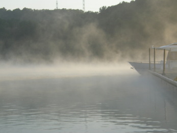
At 5 pm was the established time when the Loopers and marina residents meet on one of the covered moorage docks. As it was explained to us, “Tennessee has outlawed live-a-boards, so there are no permanent residents here, only slow boaters.”
You bring your own beverage, “No bottles please, because when the rednecks have to much too drink, they hurt each other with the bottles."
Over the course of two hours, we listened, talked, laughed at the great jokes and stories and enjoyed the instant friendship that we have discovered and enjoyed from people who have done the Loop and wanted to share their wisdom and fun.
Rush and Judy have done the Loop four times and were insistent that we borrow their books of charts for the evening to mark all the anchorages that have worked from them. This gathering was on Gary’s houseboat, a craft that he bought for $6.00 because it was about to sink and 3 years later it is a place to envy. Though hard of hearing, he is a wood and fiberglass craftsman who is on a two-year project for someone who can afford his services.
Martha lives alone on her houseboat and spoke of her love for Tennessee and encouraged us to buy the local novelty, known as, “PGA” for Pure Grain Alcohol. She explained, “Now listen to me careful. Whenever you buy this, especially if it is in a mason jar, the first thing you do is to pour some into the bottom of an upside down beer can. Then light the fumes. If the flame is yellow, pour it all out and do not drink it. But if the flame is blue, it is the real good stuff. This is for sale everyday in Tennessee, even on Sunday. If you want some, you just let me know.”
Their love of doing the Loop, meeting new friends, and enjoying this particular marina was plain. They had all come to visit and some have continued to stay. When the marina has a weekly rate that is the equivalent of three days, it becomes easy to stay a week, or as the marina manager said, “We have a saying here, if you stay three days, you are going to stay a week.”
We detached ourselves from the group and headed back to feed Boots and grilled the New York steaks that we got at the market today.
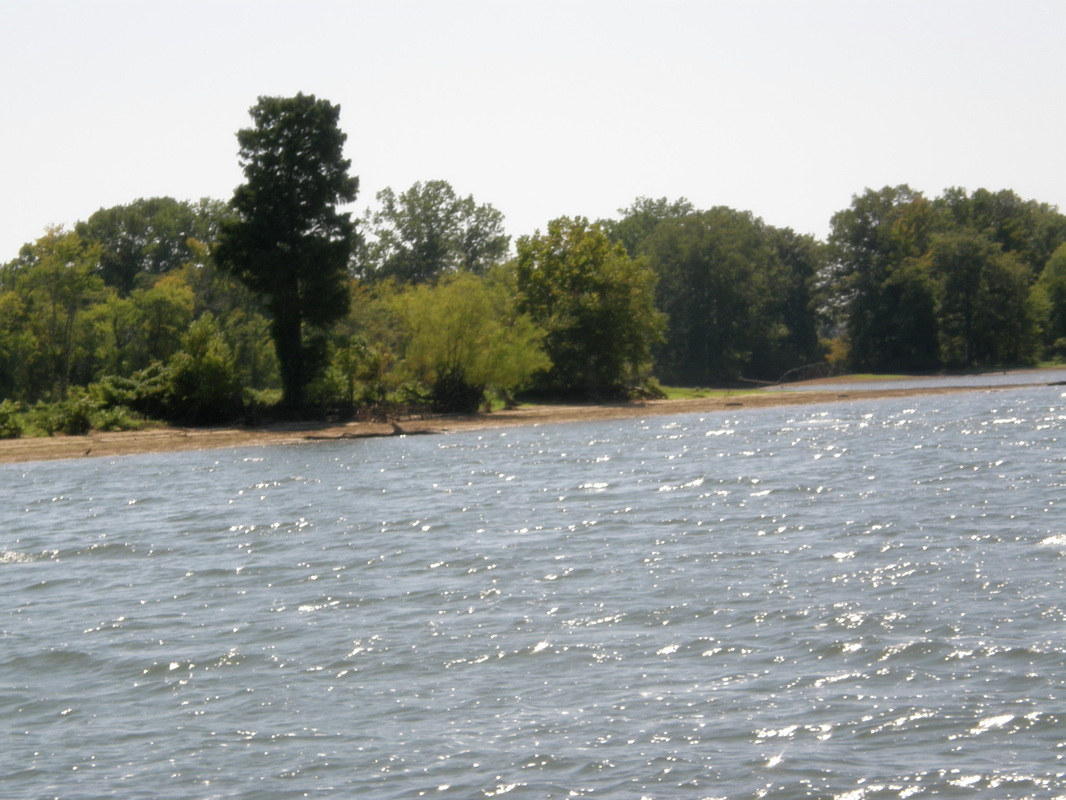
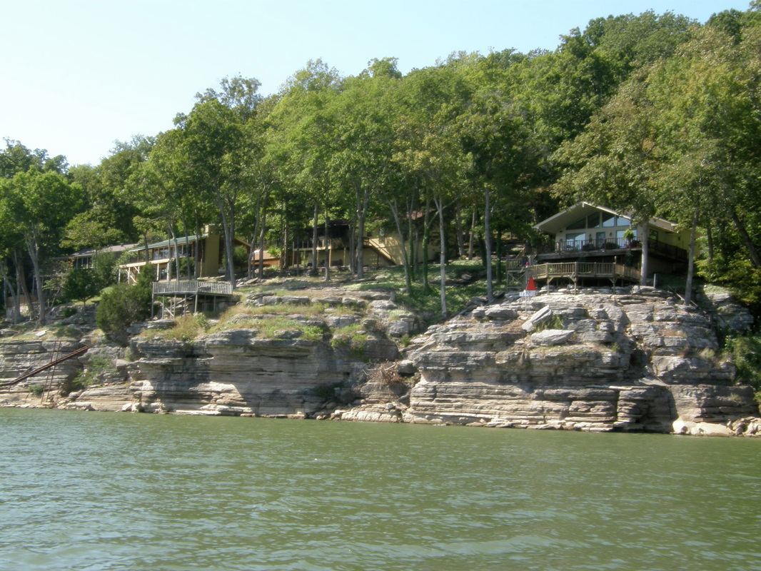

Rural Tennessee: a quiet and subtle beauty
The day started with blowing fog across the Pebble Isle Marina bay and docks. With this light wind and near 100% humidity and with the clear morning light, the morning had a different quality about it. We did the business of getting ready to go: water, power, fuel, packing and paying and we pulled away at 0930 hours for a 50 mile trip up river with the goal of anchoring at any of the three options that Laurie had determined in her research.
After going under the Interstate 40 Bridge, the official Kentucky Lake ended. The Tennessee River started to exert its own personality from here southward. The river became narrower to about 1000 feet in width but it also got deeper from the 24 or so at Kentucky Lake to 40 and 50 feet deep. The whole river was the main channel, except when passing through the huge national wildlife refuges, and the buoys kept us in the main channel. There is light but steady current of perhaps 1 knot and that will explain our drop in speed from 7.8 knots to 7.3 knots. The topography began to change also to higher bluffs of limestone, many with houses perched on them. Many of the homes on the river’s edge were of Mississippi River type construction, on poles, a testament to the kind of flood control happening here.
Divers were seen on this stretch of the river. They are soloists who use small open boats and harvest mussels. The meat is used for fish bait and the shells are sent to the Asian markets. We did not see any scuba tanks, so I suspect that are using a boat-based air supply system as they dive into less than 20 feet of water.
This is very rural Western Tennessee. There were few, if any, state roads in the area, cell phone service dropped to one or no bars of signal strength and there are a few places developed commercially for boats. If you were to follow the river from its border in Kentucky and estimate the midway point between Kentucky and Alabama, that is about where we were.
This kind of river travel is active piloting and navigating. Boots could care less, she is sleeping the whole time on the dinette table, lulled to sleep by the steady engine sound and virtually no rocking of the boat. For the first time in a week, we encountered towboats and there were a lot of them, six for the whole day plus two dredging operations.
Under the high sun of the mid-afternoon, we turned off of the main channel and behind Double Island at mile marker 148 or 148 miles from the junction of the Ohio River, and dropped the anchor in 15 feet of water. The temperature was 88 degrees and we were hot and tired. The first order of business was a dip in the 70-degree water. Then, set up the mosquito netting before the little critters found you. More flies than mosquitoes bit us. Beer, chips, conversation, reading, email and then a light dinner before playing cards in the last rays of light. The night is alive with fish, grasshoppers, frogs, crickets, the occasional mule baying and towboats running the river at night, their mega-bright searchlights ever sweeping the width of the river.
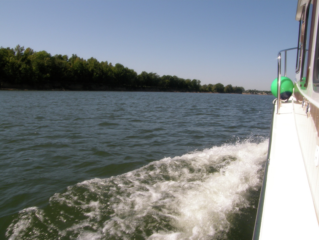
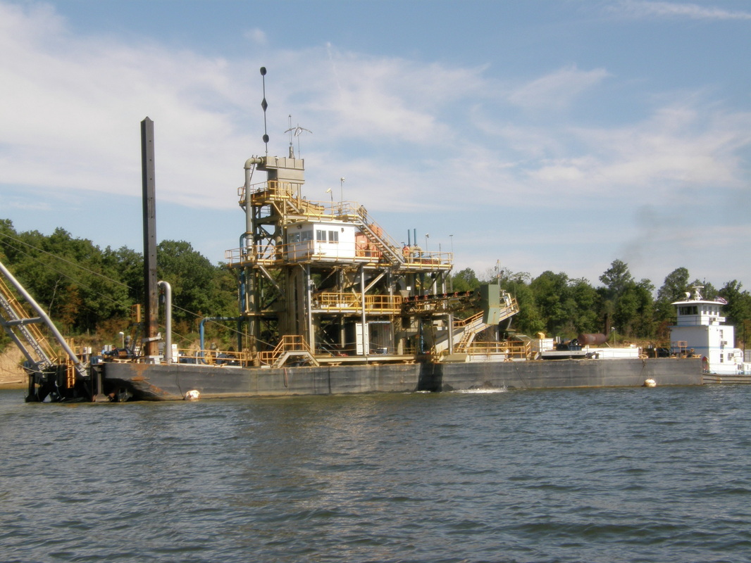

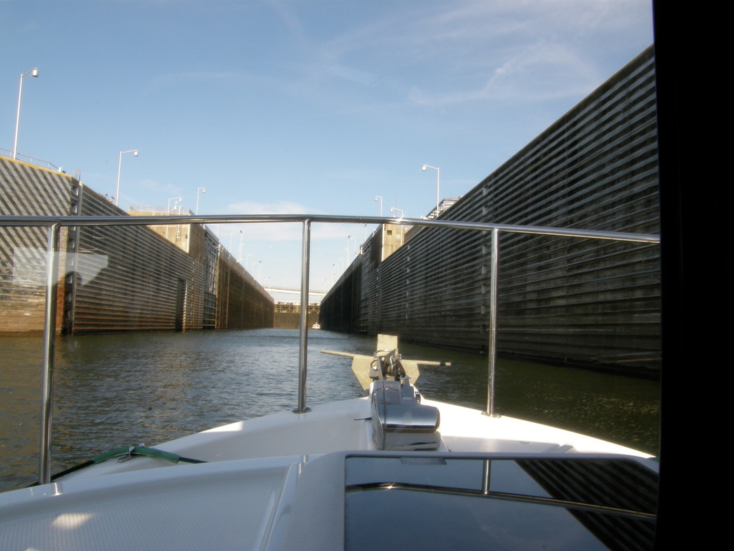
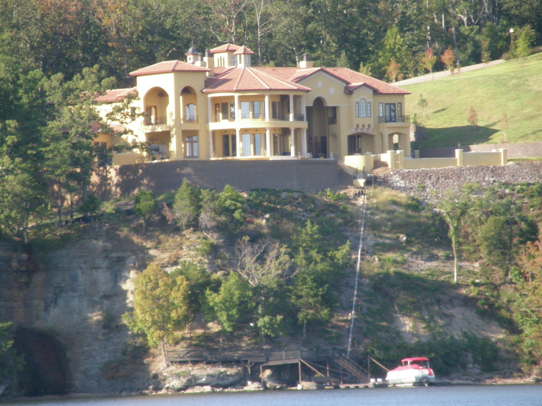
Up River to Pickwick Dam
The next morning, we went through two small towns, Clifton and Savanna; Clifton had made use of their opportunity to be on the river with a marina while Savanna had done nothing with their riverfront. This river had had several sharp bends where we would travel 5 miles by boat but only a mile by land. We encountered only one towboat and it came upon us suddenly as it came around a bend. We moved close to shore and slowed down as the towboat captain expertly slid the barges around the curve, straightened out and went passed us. The chart called some areas “bottoms” and there were many “landings.” Bottoms are essentially flat and had been the river channel in ages past. Landings were named after people and likely identified the safest places to cross the river.
The morning breeze freshened to a steady northwest wind of 10 knots that blew behind us nearly the whole day. This was a mixed blessing because the wind kicked up the river a bit and the tug was surfing the small swells and the wind was pushing us along. The downside was our relative speed negated the cooling effects of the wind, so the inside of the boat was warm all day. The temperature peaked in the high 80’s by late afternoon.
As we continued up river and closer to the next dam, Pickwick Dam and Lock, the river current became stronger. As we went by Shiloh National Military Park, we notched up the engine speed to keep up the 7.2 knots of speed that we had previously done. The last 5 miles before the Pickwick Dam, the current had built to about 2.5 knots and we were running nearly full speed and making only 6.5 knots. At the dam, the huge gates were open and waiting for us.
Pickwick Lock raised us nearly 60 feet from the river to Pickwick Lake. My first clue that this was going to be different was when, after the lock doors closed, the chart plotter alarm sounded indicating that the GPS signal was gone. The lock is so large and we were so deep, that the antenna on top of the boat could not see the sky to read the satellites. This lock had floating bollards mounted inside the lock walls. Bollards are steel cylinders that you throw a rope around to keep your boat from being tossed around the inside of the chamber. Throwing the rope around the bollard is Laurie’s job. She did it nicely and secured the line. Then, we used glove-protected hands to fend the boat off of the walls but the tug has both bow and stern thrusters just like the big ferries and cruise ships. The thrusters were used extensively during our 35-minute stay in the chamber to keep the tug under control.
After leaving through the lock and dam, we motored a short ways to the Pickwick State Park and Marina. Though we knew that the docks were under construction, we looked for a place to anchor, and quickly found a quiet and protected anchorage in about 8 feet of water. We launched the dinghy and motored over to the park, the leased slips and the gas dock. Tennessee and Kentucky both use their parkland to build quality marinas and then lease them out to boaters, under contract with a vendor, to make money for the entire park system. It is a system that seems to work because the facilities are in great shape.
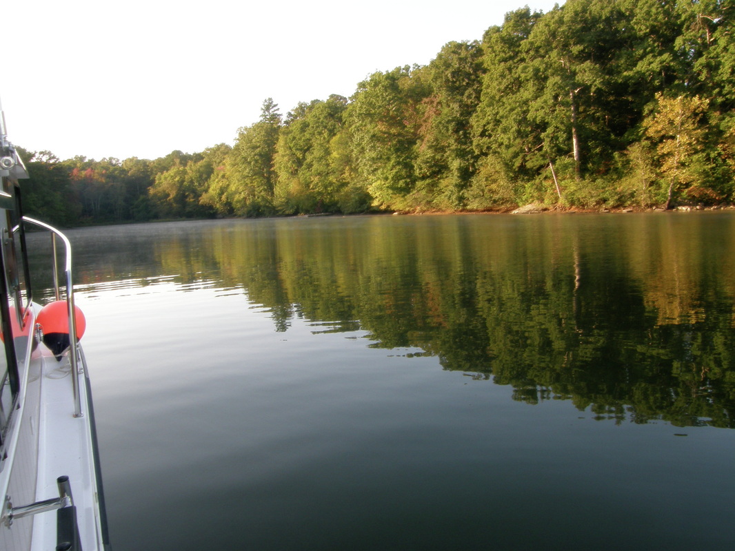

The Junction of Two Rivers & Grand Harbor Marina
On this Saturday, we headed for Grand Harbor Marina, about 10 miles away, on the Yellow River near the Tennessee-Tombigbee Waterway. We had to stop there because the fresh water pump was forwarded there from the Green Turtle Bay Marina. This marina is a huge operation. It had the normal elements of covered moorage, fuel dock and small store but his one included condominiums, massage, lodging, on-site security and the scale and quality was larger than anything that we had seen so far.
Laurie had already done the rental car research via wireless internet and had a cell phone conversation with the Enterprise branch manager in Corinth, Mississippi that is about 20 miles from the marina. We were going to be on a tight time line as we were arriving at Grand Harbor Marina at 1045 hours and the rental car office closed at noon.
At the dock, Chip, the local site manager, and a sort of leader of all customer service met us. He quickly found us the courtesy van, took us to it in his golf cart, and gave us directions to the Enterprise office in Corinth (pronounced co-rin-th). Minutes later we were off and quickly crossed the state line into Mississippi; a new state to add to our list of the Laurie Ann travels. 45 minutes later, we had the rental car, and we caravanned back to the marina.
We had decided to make the run to the Kentucky Dam Marina to bring down the truck and trailer. So, after a light lunch, we buttoned up the boat with Boots inside, and took the rented Nissan Versa north. For three hours, we saw rural Tennessee from the highway. We had never seen cotton fields before but the thing we saw the most were churches. This must be part of the “Church Pastor Full Employment Act” because on this trip, we noticed at least 40 churches and they came in all sizes and the full spectrum of wealth. The biggest town we drove through was Murray, Kentucky of 17,000. This combination of travel by boat and car really provided a great way to see and get a feel for an area.
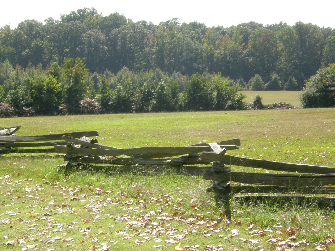
Shiloh National Military Park: An Unexpected and Powerful Impression
We had some chores to do so we did those first: laundry, boat cleaning, and getting the trailer stored in the marina’s long-term storage lot and the truck moved to the supervised parking lot. Sunday morning at the marina brought the walkers who came to the little tug because they could see it from their condo or their yacht and they wanted to come and talk about it. There were also the exercise nuts that walk three miles a day with their I-Pod and walking suits. With the chores done, we went to Shiloh National Military Park and arrived in the late morning.
The drive through the park to the visitor center provided no idea of what happened there, except for decades-old steel signs and cement monuments that would require stopping and reading them. There was a mystery to the place and that was quickly vanquished at the Visitor’s Center. With the story now known to us, we did the driving tour of the battlefield, taking roads that were unknown to us when we arrived, and we walked the lines where heroism, defeat and surrender occurred. It was hallowed ground where nearly 80,000 soldiers engaged in combat and struggled with their own physical and emotional demons and 23,000 were killed, wounded or missing. We found it easy to understand why new military officers came here to study. It is more than just tactics and strategy. The learning is probably more about how to lead thousands of new soldiers, untested in battle, to not only survive, but to succeed. We enjoyed the park and its’ story more because we had seen the area by river and road and been through the areas that both armies contended with.
After a grocery store stop, we were back at the boat and pulled away from the marina at 1:45 PM. We traveled up river for 10 miles heading for a small cove that a fellow Looper, had told us about. As we approached the cove’s entrance, we fell in behind an older tug-style boat and learned by radio that they were going to the same place. After they anchored, we came in and anchored in 12 feet of water. After setting up the boat for the night’s anchor, we took the dinghy and we were immediately invited aboard the tug.
Kerry (him) and Charlie (her) had retired four years ago and lived down river near Huntingdon, a place that we drove through the previous night. We immediately liked them. They are from Miami but have lived in the region for 30 years. They said that though people in South are very friendly, they will not “take you in” unless you are “of here” and that meant being raised in the schools. No matter how long you lived you there, unless your family had roots there, there was always some degree of being an outsider.
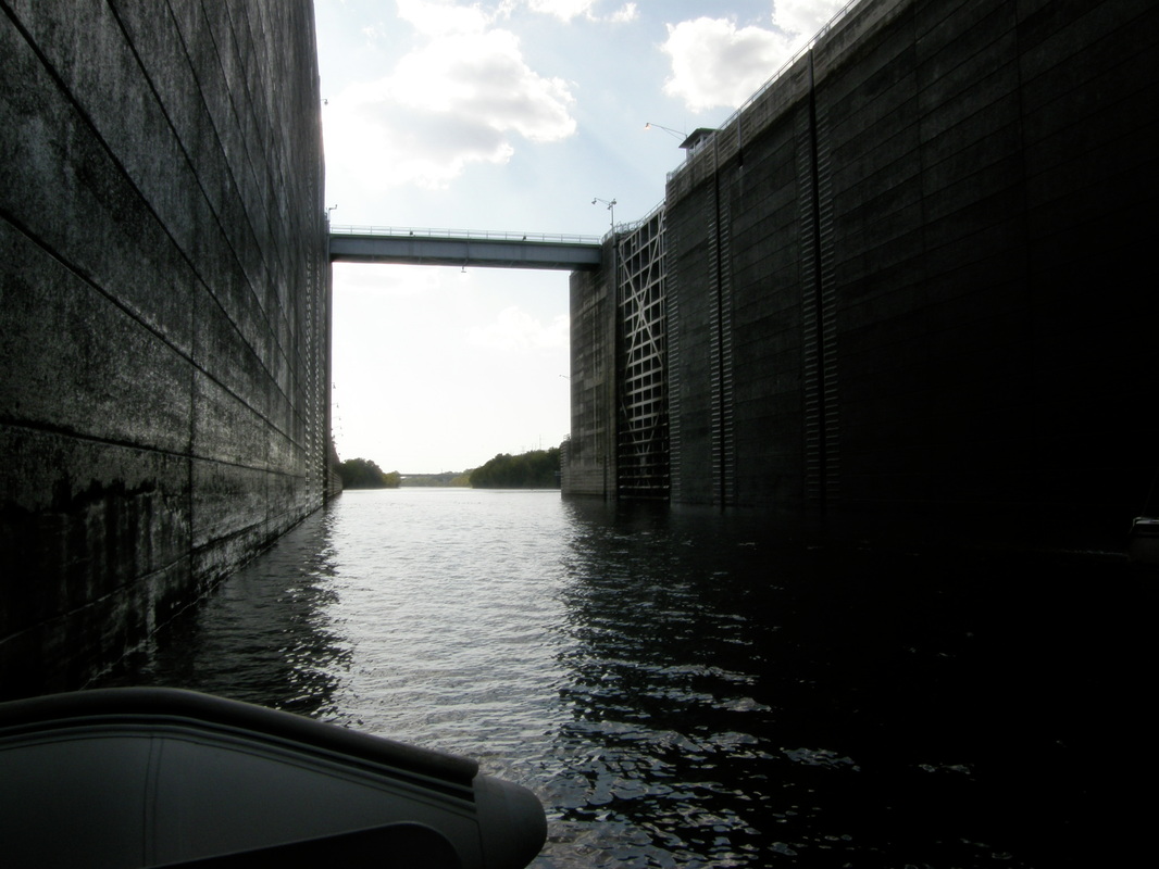

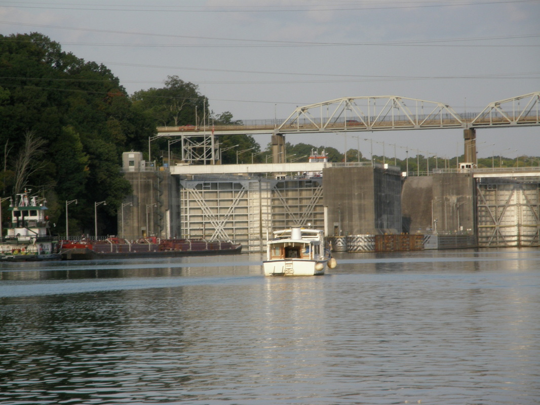
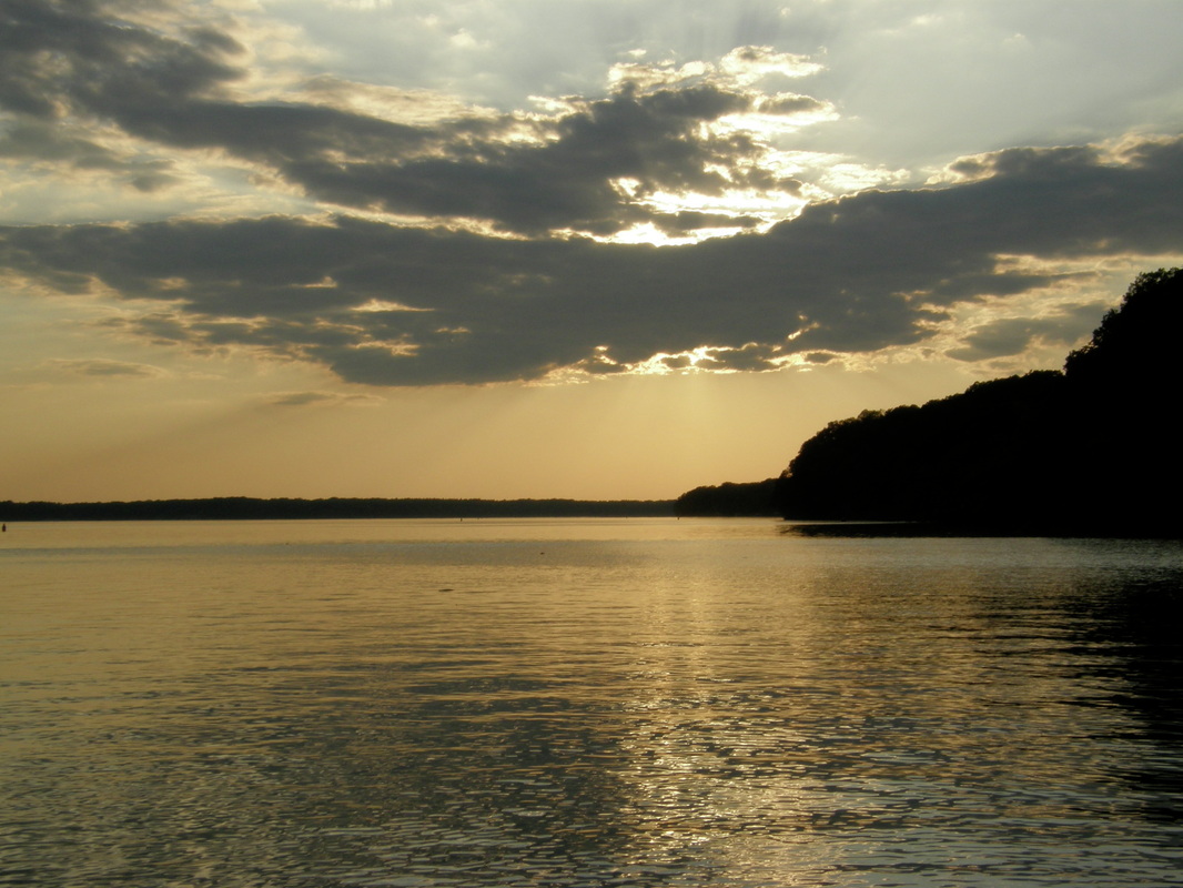
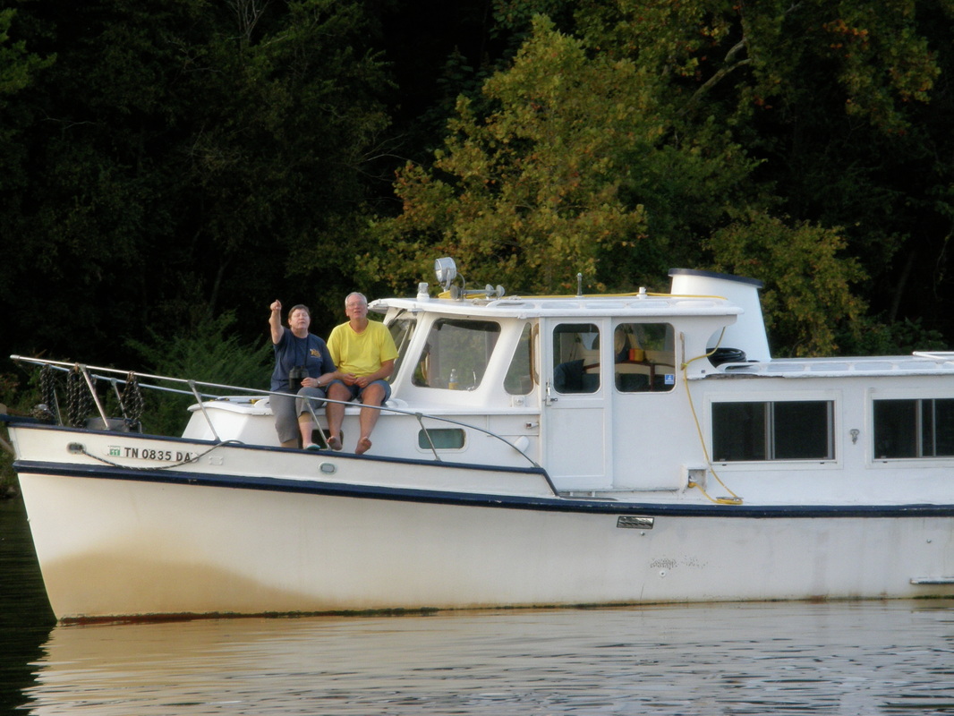
A Difficult Day: Two Dams and Running At Night
The blowing fog that came across the bay in the morning sun did not foretell that this was going to be a difficult day.
Our first difficulty was at the Wilson Lock and Dam that had a vertical lift of 93 feet or more than a 9-story building. As we arrived, we could see a commercial fuel barge waiting ahead of us and the lockmaster told us that another tow barge was currently in the lock chamber. It was going to be a three-hour wait. Kerry asked if we could lock through with the fuel barge because the barge was short and the chamber was huge. No, said the lockmaster, hazardous material goes by itself. We were allowed to tie up to the outside wall of the lock while we waited. The sky was clear, the temperature was in the high 80’s and rising and there was not a puff of wind to be found. We were forced to slow down, step back, and be patient and accepting.
The lockmaster had his timing down to the minute and we were in the lock chamber three hours later. In over six hours, we had covered about 24 miles. We entered this lock and behaved like we had with each of the other locks on the Mississippi and Tennessee Rivers; we did not know that this would be a memorable one. There were now four pleasure boats in this lock. Three of them took positions right next to the gate. We took a position near the middle of this huge and deep chamber and when the gates closed, the real fun began. For when a zillion gallons of water are forced into a chamber, it creates turbulence and a lot of it. For 25 minutes, we worked hard to keep the boat from slamming into the concrete walls because even though were tied to a floating bollard, the force was so great that the ropes we were using were extremely tight and stretching. We used lines, muscle and thrusters. Kerry told us that the best place in the lock to avoid this is in the four corners and we needed to have our lines tighter against the lock wall.
It was nearly 4 PM and we had another lock, Joe Wheeler Lock and Dam, to get through because the anchoring and marina options in this stretch of the river were very, very few. As we approached Wheeler Dam, we slowed way down to a near idle because we still had a 30 minute wait or so we thought. This lockmaster did not estimate the lock time well at all as the wait time got longer and longer because we were behind the same two barges. For nearly two hours, we idled around the pool in front of the lock, keeping the boat off the rocks, watching raccoons feast on dead fish, blue herons fish, and I thought about boating on a dark moonless night in a strange place.
At about 7pm, with the tug’s nighttime navigation lights on and with the bright searchlight ready, we idled into the huge lock for a 5-story lift. We moved toward the front of the chamber and Laurie did a great job securing the boat with her new tie-down technique. Then the turbulence started and again with brute strength, gloved hands pushing on the lock wall, using the bow and stern thrusters, we struggled and won to keep the boat undamaged.
Tired and near exhaustion, we left the lights of the lock and motored into the dark night, across a smooth and dark lake and with little or no lights on the shoreline. Kerry had been to our next destination several times but never at night and there were no navigation lights or channel markers to identify the turn to take. Kerry did not have a chart plotter like the Laurie Ann has so we agreed that we would lead the way and use our electronics to find the marina. For three miles, we were quiet but tense as we motored at 7 knots, hoping that there were not logs floating about, as the cursor that represented us and our little tug inched across the electronic screen toward the creek channel and the two bends where the marina was.
We arrived at Joe Wheeler State Park with no further incident an eased the Laurie Ann into a slip that was next to a huge houseboat. We had covered 43 miles in 12 hours, a trip that would usually take 6 hours but we were thankful that everyone was safe and the boat was not damaged.
Joe Wheeler State Park, Alabama
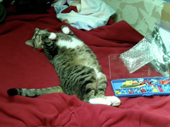
On this Tuesday in September, we said our good-byes to Kerry and Charlie as they headed up the Tennessee River. Boots had escaped again from the confines of the boat for the second time and Laurie was done watching her. I just let her explore the docks. After a half hour of not seeing her, we discovered that she had adopted the 70-foot houseboat that was next to us as her own. She was sprawled on the carpeted foredeck basking in the sun and did not want to be disturbed.
It was a hunker down and do business day. Laurie worked the computer, moved funds, paid bills, and did the troubleshooting that living remotely creates. I started on the list of projects, re-attaching a sensor on the holding tank, fixing a screen shade, and replacing the depth sounder. All went well until I discovered that I had failed to pack a wire-crimping tool that was necessary to do the wiring on the depth sounder. So the search began: dump out all the tools muttering, “Surely, I brought this basic tool!” Not finding one and thinking that I would need to bike to Rogersville (population 2,000) to find a hardware store; I found a Looper boat where we met Ed and Lucy who had done the Loop. They quickly gave up their wire-crimping tool and we had a wonderful conversation about their experience.
I finished a couple of projects before lunch and went back to the pump project and an hour later the deed was done but a small water leak was found that required tracing and another small repair job. Laurie was patient while tools and materials covered the cockpit and the galley floor. Handymen are great she says, but they always leave a mess. By the time the tools were packed away and the carpet was vacuumed it was 4 PM. Soon, it was wine time in the cockpit with chips and salsa then ground steak on the BBQ.
After dinner but before the dishes were done, a walker on the dock stopped to admire the Laurie Ann. We invited him aboard and that was another hour conversation about boating, trips, and lifestyle choices.
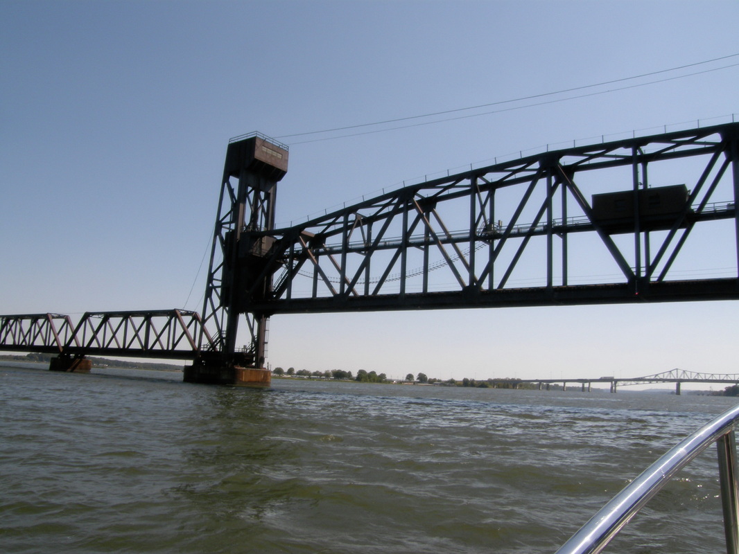
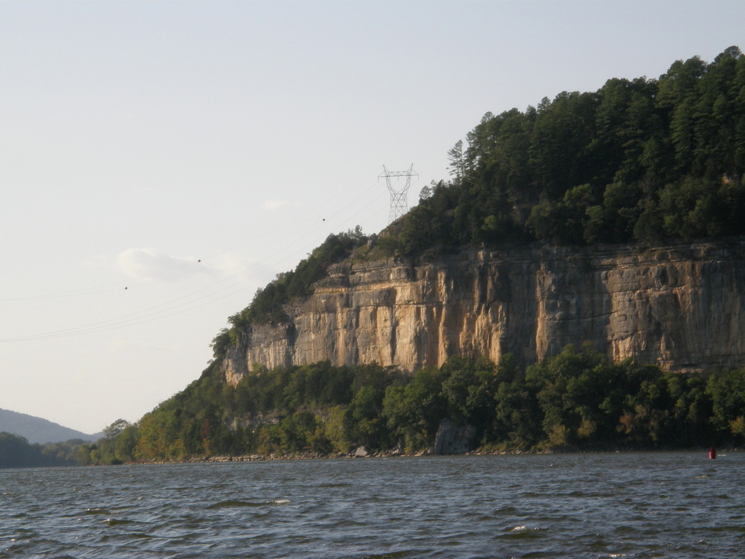
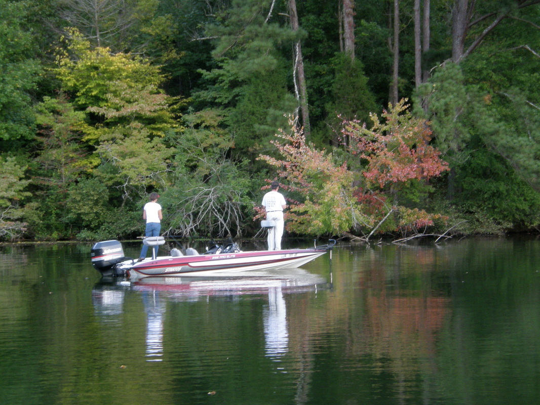
Across the Top of Alabama
As the morning rays dried the dew on our little tug, we had pushed away from the slip and idled over to the fuel dock to buy only enough fuel, at the highest price we had seen, to take us to the next fuel stop, nearly 30 miles away. We bought 15 gallons at $5.10 a gallon and talked about making a reservation for moorage for the Looper’s association rendezvous in three weeks. Then we were off into the main channel under clear skies, a nice breeze from behind us and with a weather forecast of temperatures in the high 70’s.
This was Wheeler Lake, formed behind Joe Wheeler Lock and Dam and it extended to about Huntsville, Alabama. During this morning tour of the lake, we enjoyed mostly forested shorelines until we neared Decatur, Alabama, and then the shore turned industrial with coal-fired power plants, a nuclear power plant, facilities to load and off-load liquid chemicals, grains, large business complexes, and refineries.
In the heart of Decatur, a railroad bridge would have to open for us because the clearance was so low. The bridge operator was a character because we listened to his conversations with towboat captains, such as, “I will be sittin’ here unless someone good-looking comes along and tows me off,” and his explanation for a delay, “The darn thing is not movin’ when I turn the knob, I have to step outside and get me a bigger hammer.” When I called the bridge operator on the VHF radio and there was no response, Laurie called and he responded to her within a few microseconds.
We swapped off piloting the Laurie Ann as the hours drifted by with the changes of the scenery. After Decatur, the river narrowed and flowed through a national wildlife refuge. We had the whole river to ourselves, which was common for us, but the Loopers had said that this was highly unusual. What was really absent was the low amount of barge traffic or the transportation of raw materials on the river.
During this part of the trip, we passed the 600-mile mark of river traveling. The Laurie Ann traversed about half of the height of Illinois, the entire height of Kentucky and Tennessee, and nearly the entire width of the Alabama. For our Southern California readers, this is like going from San Diego to Reno and for our Pacific Northwest folks; this is about the distance of Seattle to Boise. This is a record for us both in terms of time and distance of boating and every day sets a new record.
Through Huntsville and beyond, the Tennessee River became more like a river and less like a lake. We fueled at Ditto Landing at the Huntsville city limits and met another Looper who shared with us a useful bit of information that the Chattanooga marina was booked up for the weekend. This was going to be a destination in several days, so Laurie called the marina after we were underway and learned that most weekends are booked up but the rest of the week was fine. We made reservations for the coming Sunday, Monday and Tuesday.
The river scenery then got better and better with high limestone bluffs that were carved with intricate designs from ages of wind and rain. Around the bend, came the Guntersville Lock and Dam and official end of Wheeler Lake and the beginning of Guntersville Lake. In the late afternoon, we were through the dam and suddenly into mountain country with trees to the shoreline. Our intended anchorage site, recommended to us by two different sources, was very close by. We pulled into a narrow but long cove, well off the main channel, and anchored in 8 feet of water.
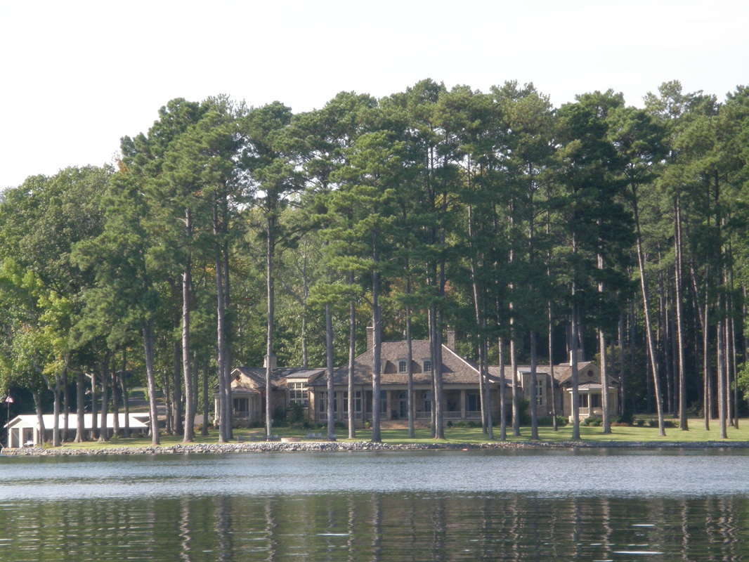
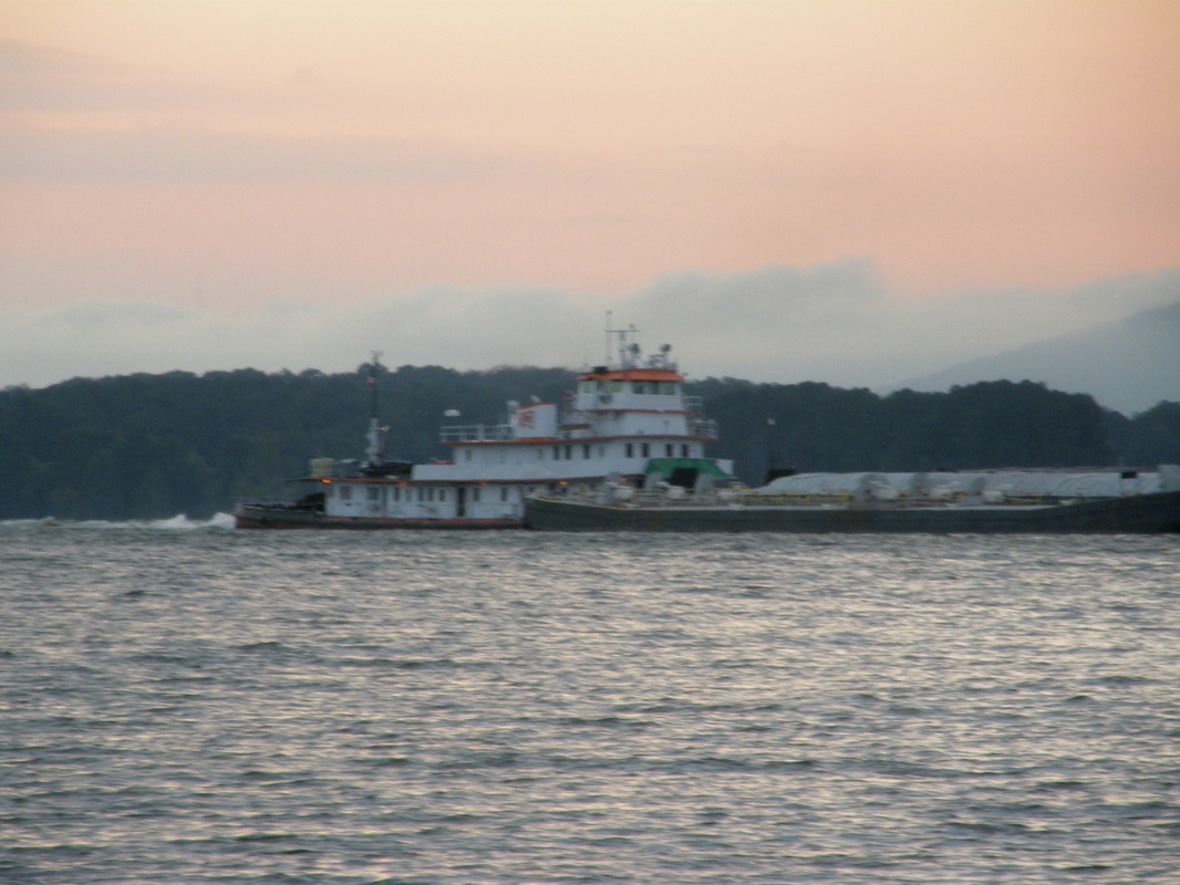
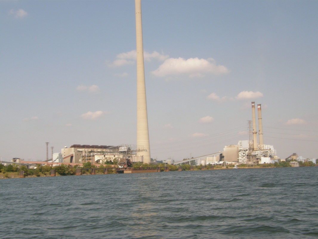
Guntersville and Beyond
This last day in September was a slow down day. After breakfast of great eggs, we did some cleaning inside and out under sunny skies and temperatures in the low 70’s. We pulled the anchor in late morning started a fuel conservation method of traveling by staying at 2000 rpm’s or about 6.2 knots because we wanted to see what the best fuel efficiency speed is.
We headed out to the Guntersville Marina, now closed, but it had a dock. We motored under a highway bridge, past the ever-present bass fisherman to the deserted park with a long dock. We tied up, had lunch and a fisherman told Laurie, while barely pausing his cadence of casting, that the main road into town was close by. So, off came the folding bikes and within minutes, we were biking down the one-way streets into downtown Guntersville. Within 8 blocks, the downtown had withered away to residential streets; another victim of urban decay, where like an apple, it rots from the center out. Guntersville’s vibrant retail center was not in downtown; it was probably on the fringes, on a new arterial street.
In 35 minutes, we had seen all there was to see and the bikes were loaded back on the Laurie Ann and we were headed up the Guntersville Lake of the Tennessee River. The river was wide with trees coming down to shore. One side of the lake had many large houses with lots of small boat houses, ones that are covered and walled on all sides but are smaller than the Puget Sound boat houses. These are for lake boats and other toys.
We motored along at 6.3 knots, sipping fuel and enjoying the mid-70’s temperature under partly cloudy skies. After looking at several anchoring possibilities, Laurie found a good one behind a small and unnamed island about two hours from Guntersville. By 5 pm, we were zipped in and floating on a mirror smooth surface of water. A beer, conversation, showers, a grilled steak and we listened to the debate between the vice-presidential candidates.
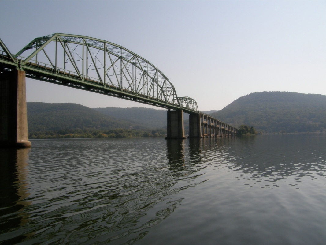
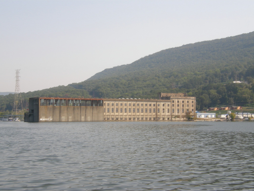
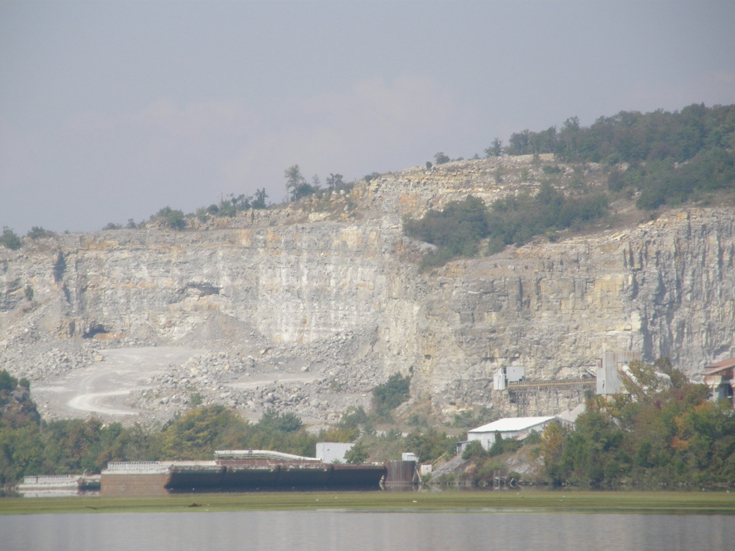
Goose Pond
We awoke during the night when our quiet anchorage was subject to a moderate breeze and the accompanying swells that made the boat bob about. After daybreak, we got up and did the things to head out under partly cloudy skies and into a moderate head wind. In short order, we headed up river for six miles to the Goose Pond Marina and arrived about 45 minutes later. The entrance channel was narrow and shallow, the staff was friendly, there was ample room on the docks and the moorage was only $15 a night.
We had another adventure with Boots. After docking, she immediately jumped onto the dock, probably sick of being on the boat at anchor for two days. We have come to expect this behavior and trusted her as she ran from people back to the safety of the boat. This time, she found a way to get under the walking surface of the dock and walked on the floating pontoons that kept the dock up. First, we could not find her but Laurie, using her binoculars and laying on her stomach at a far dock, say the feline between the metal framework and the conduit. We waited for her to get over the adventure of this under-the-dock walk. When she started meowing in fear, I found a loose fitting block, pulled it up and she came to me when called. The marina staff had a great time watching all of this unfold and said that several stray cats were there over the summer. Boots probably smelled them and she ate something too because she was sick later in the day.
We walked the city park, the boat launch with all the bass boat trailers and the docks of covered moorage. We cleaned the boat, had lunch, and met more Loopers who were in this small marina. We spent most of the afternoon re-provisioning the Laurie Ann by shopping at the local Wal-Mart. Though we are not fans of this corporate giant, in the smaller communities, there is simply no other choice. If the market is empty junk food, then Wal-Mart will sell it for less. If the market is healthy and organic food, then Wal-Mart will sell it for less. We took our savings and got out of the store.
When we returned, we had lots of social time with the Loopers: Dave who pilots his 42 foot cruiser with friends and people he finds on the Looper website. He has cruised parts of the Great Circle Loop with his wife and when cancer finally took her, he has continued the trip with assistance as he can find it. His crewmembers, for their share, buy the food and do the cooking. On this segment, Ed, a long-time friend and retired schoolteacher from Illinois, assisted him.
We all had dinner together at The Dock restaurant where Laurie had their specialty dish of Shrimp and Grits, which was excellent. We heard their stories of great places to see, tax problems that they avoided, and challenging times that they faced and overcome. We finished the evening in the quiet of our little tug.
Toward the Grand Canyon of the Tennessee; Gateway to Chattanooga
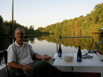
The day broke with more fog than seen before, thus causing a delayed departure of our Looper friends. They eventually left and we listened to them on the VHF radio as they negotiated the fog banks on the river. As the sun continued to rise in the sky, the temperature climbed and burned off the fog. Laurie and I had taken a walk along the road, by the shore and near the resort’s golf course. We pulled away from the dock and motored along at 7.1 miles per hour, the engine at 1800 rpm; our fuel-efficient speed.
The river was still wide at this point but noticeably narrowing. The countryside had high hills with trees that came to the water’s edge and almost no houses. Laurie worked the laptop and summarized the news of the day in Alabama and back home. The Tennessee Valley Authority, the provider of the dams and thus the lakes, had also done a good job at dotting the river with coal-fired power plants and another nuclear power plant. The depth of the river remained about 20 feet through this section as we went under an Interstate bridge, around long islands that separated huge spans of shoals from the main channel, and several railroad bridges.
The river had turned north, finishing its journey across Alabama and by mid-afternoon, we crossed back into Tennessee at the upper corner of Alabama and only a stone’s throw from Georgia. We passed another threshold on this day of having gone over 700 river miles by boat. With 12 miles to go to the Nickajack Lock and Dam, the current had become stronger and we had to increase the engine speed by 500 rpm to keep up our speed of 6.5 knots. Throughout this day, we were rarely out of sight of bass fisherman in their go-fast boats.
Mid-afternoon, we entered the lock chamber of the Nickajack Dam and had perfected our system of lines, fenders and tension of each to have an uneventful lift of nearly 40 feet. We came into a huge lake, with more fishermen, and headed to the anchorage that Laurie and identified through her conversations with fellow Loopers. Just a couple of miles past the dam, we entered a long cove and anchored in 10 feet of water near the end, past several boats and tucked into the sloping sides of the hills. The fish activity was constant.
We continue to have the conversation of how can we continue to do this adventure. What is our purpose and mission and what make us excited to do our day? We had no answers except to conclude that if the trip ended tomorrow, it was the best boating trip that we have ever done and will set the standard for trips to come.
With the late afternoon bugs came out so we zipped up the netting. We baked brownies on the BBQ, took showers and after a dinner of pasta and wine, we had coffee and fresh brownies while watching the first episode of Roots.
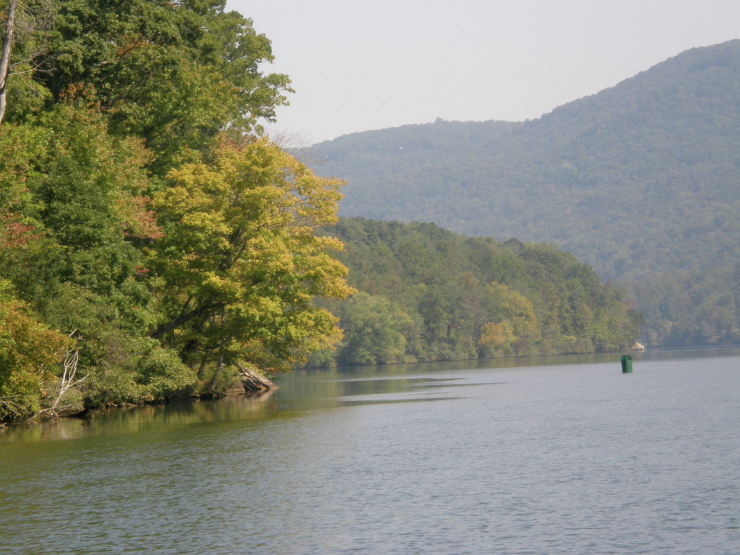
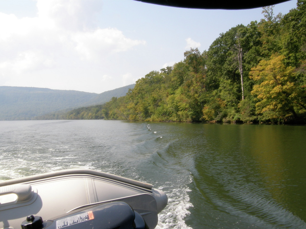
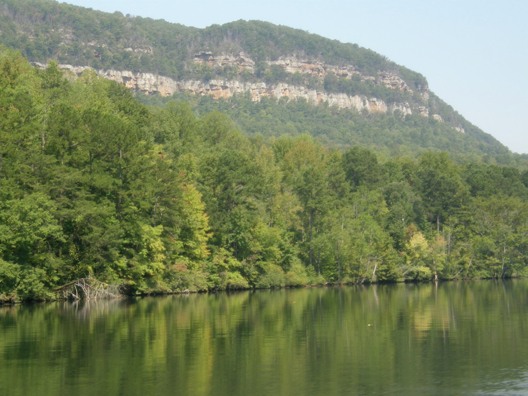
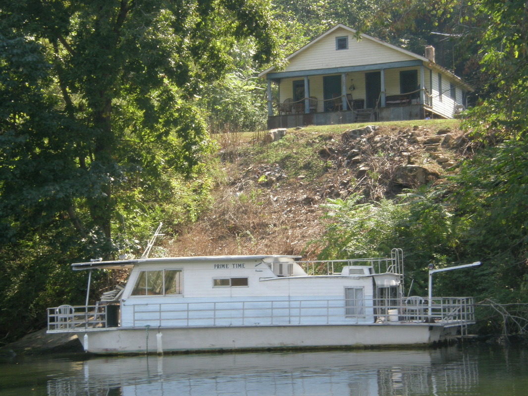
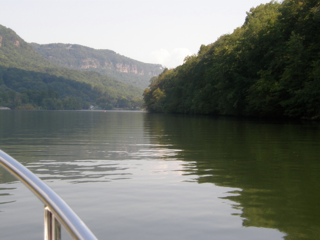
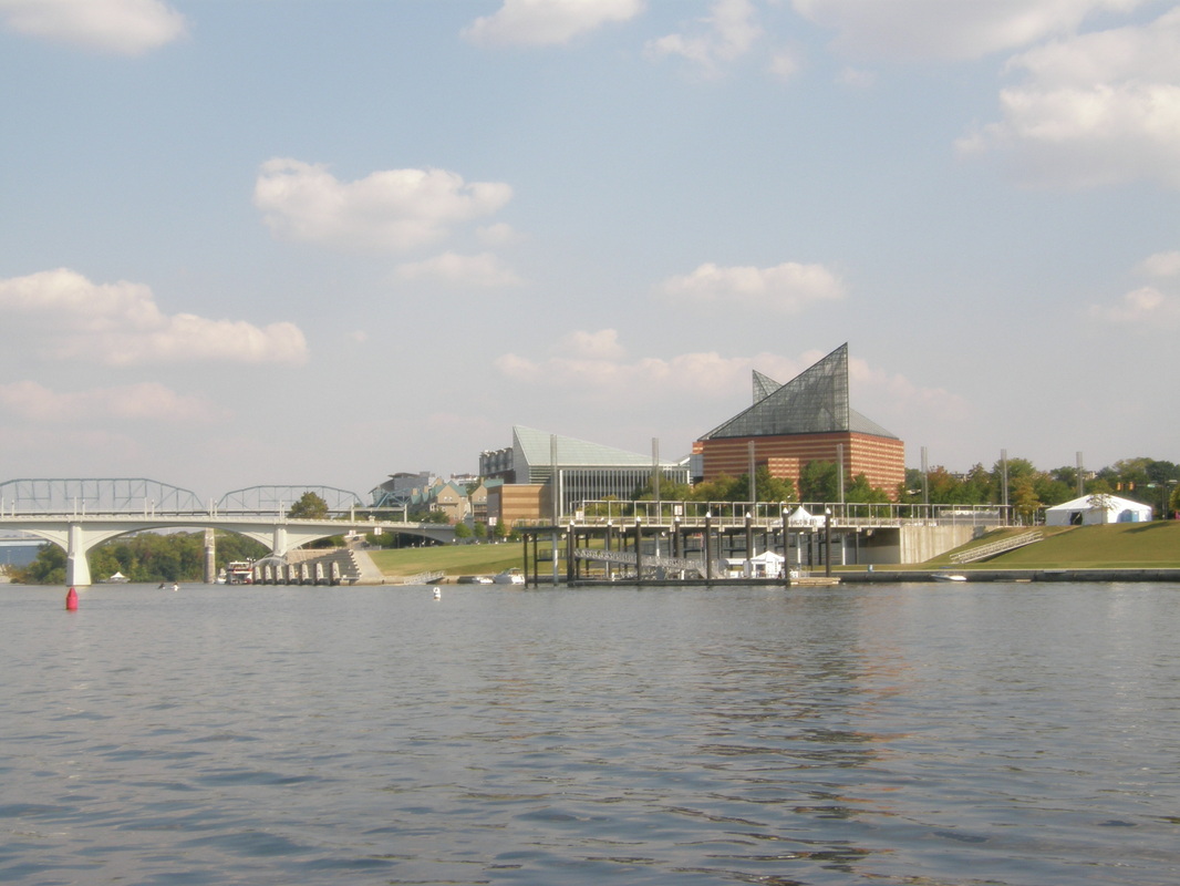
Six Days and Chattanooga, Tennessee
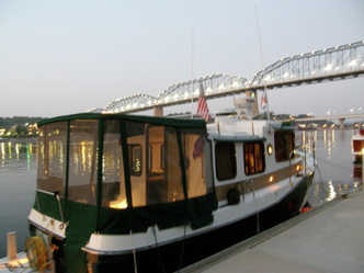
Quickly, the urbanization of the experience began. First, came the sign from the cellular phones that we were in the Eastern Time Zone. Then, the VHF radio frequencies were busy with the conversations of boaters leaving Chattanooga’s wine tasting event and going home. Large pleasure boats and sight seeing boats were on the river. Apartments were on the river’s edge and then came 5 miles of heavy industrial uses: scrap metal yards, cement yards, old barges and rusted facilities that spoke of an industrial energy that is now long-gone. Interstate 24 came to the banks of the river for several miles thus formally ended the travel in the country.
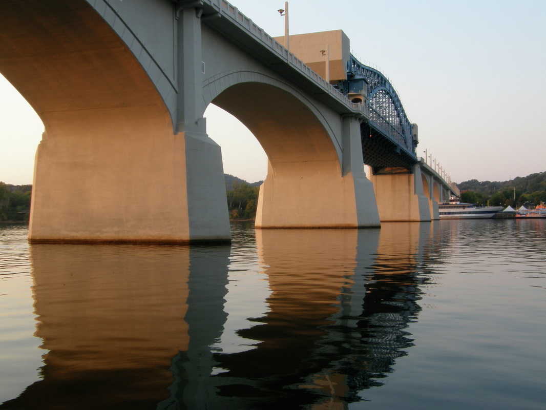

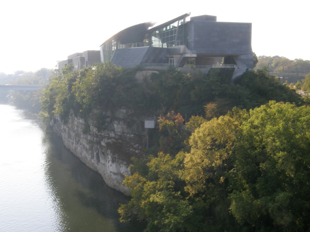
Urban Boating
We were in downtown Chattanooga and the old industrial area quickly yielded to a new and revitalized urban core with new highway bridges, the old highway bridge was saved by popular demand of the citizens and converted to use for only cyclists and walkers. We docked at the public marina under the highway bridge for $25 a night and enjoyed their power, water and garbage service. We were in the middle of a new and energetic Chattanooga. A five-minute walk was the renowned River Aquarium and its sister the Ocean Aquarium. We would spend most of an afternoon at these and Laurie would complete her museum fix by doing the Ocean Aquarium while I rested on the boat. The old warehouse district was now vibrant businesses and condos.
We ate out twice; once at a well-regarded ribs place called “Sticky Fingers” where we had the local beer and their sampler of ribs with different sauces. There was so much food that we brought back a box for the next day’s lunch. On another night, we enjoyed a nice and social dinner at the River City Grill with fellow Loopers. We talked of adventures and places to go. Urban boating meant ice cream at Ben and Jerry’s and coffee at Starbucks. Urban boating also meant noise: from the highway bridge, the medical helicopter going to and from the nearby hospital, and the spectators who walked the dock and gawked at the little tug.
We ate out twice; once at a well-regarded ribs place called “Sticky Fingers” where we had the local beer and their sampler of ribs with different sauces. There was so much food that we brought back a box for the next day’s lunch. On another night, we enjoyed a nice and social dinner at the River City Grill with fellow Loopers. We talked of adventures and places to go. Urban boating meant ice cream at Ben and Jerry’s and coffee at Starbucks. Urban boating also meant noise: from the highway bridge, the medical helicopter going to and from the nearby hospital, and the spectators who walked the dock and gawked at the little tug.
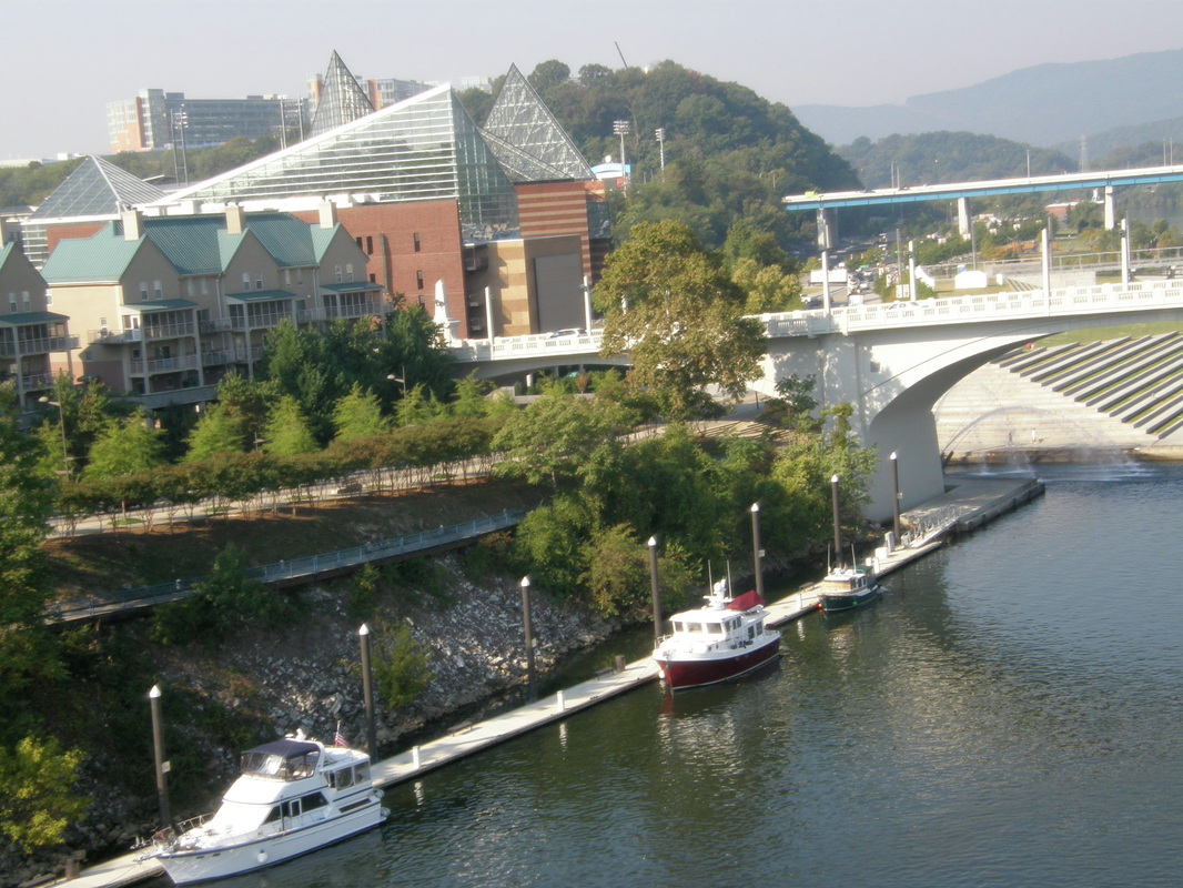
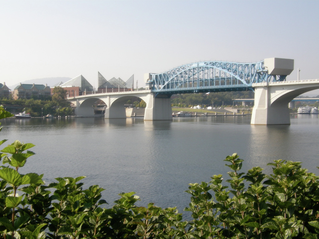
Boater Friendly
Downtown Chattanooga is on a bluff above the river. A height that a roaring river, swollen with floodwaters had often climbed. On the highest bluff and only 10 minutes away from the boat, were the art museum, Sculpture Park, and historic district; all features that Laurie thoroughly explored. Across the river and connected by the vehicle and pedestrian bridges was Chattanooga’s North District, a unique combination of small shops, wide parks, live music, and new townhouses. We explored these areas on the folding bicycles and filled our bike bags with the results of our shopping. The bluff’s edge has remained in the public’s hands and the city has built a wide and well-maintained walking and bike trail that extends for many miles in both directions from Chattanooga. One morning, we bicycled 6 miles along the easy and safe trail meeting joggers, walkers, strollers, and business people taking a break at one the many overlooks; the old and the young. We rewarded our exercise time by splitting a chocolate scone and drinking ice tea at a local coffee stop.
For three days, the temperature was in the high 70’s to mid 80’s with nighttime lows in the low 50’s. Then the high-pressure ridge faded, bringing a moderate breeze, clouds and a late afternoon light rain.
For three days, the temperature was in the high 70’s to mid 80’s with nighttime lows in the low 50’s. Then the high-pressure ridge faded, bringing a moderate breeze, clouds and a late afternoon light rain.
Going East
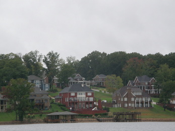
The heavy rain woke up Laurie first and she got the windows closed before any of the driving rain got into the cabin. An hour after sunrise, the rain was fluctuating between heavy downpours, to a light drizzle, calm, and then start again with the downpour. The rain would fall so hard that the drops hitting the river surface would cause water to bounce back upwards an inch or two and visibility would be cut down to a half mile. The difference between a storm in the Pacific Northwest and this one was wind; there is almost always a wind that buffets off of the Olympics and Cascade Mountains. This Tennessee rainstorm happened in still and calm air. In the pendulum of the rain cells, we prepared the boat for leaving and found the dinghy had collected a huge amount of water from the storm.
We motored across the flat water with the wipers going, snug and dry in the warm cabin sipping coffee mixed with hot chocolate. The Chickamauga Lock and Dam was 6 miles upstream and we passed huge houses on the riverfront, a championship golf course and the bike trail that we had used the day before. As we approached barges of cranes and those laden with heavy steel beams, another storm cell dumped its contents of rain upon us reducing visibility further. When you are moving only 6 miles per hour and the water is as flat as mirror, there is very little risk of damage or injury. We idled back, waited, called the lockmaster and used our binoculars to make sense of the unfolding scene.
By some unseen and unheard signal, all of the construction activity along the approach to the lock stopped. The huge gates to the lock chamber opened and Laurie heard the horn to give permission for us to enter. The lift of this chamber was 46 feet or over four stories. Laurie had perfected the use of the lines on the floating bollard and we had a perfect and non-eventful lift to Lake Chickamauga. We motored on under clearing skies past large estates, yacht clubs and the turning autumn colors on a lake that had a long and established community. One apparent difference was the improvement of water quality in this lake. It was clearer and the Laurie Ann did not get the usual amount of brown scum on its dark green hull.
We had chosen the destination of Shady Grove Marina, recommended by another Looper, because we needed to do laundry. Shady Grove has a Soddy Daisy, Tennessee address but is closer to the little town of Hixson, Tennessee (population 12,000). Randy and Terry are the marina’s owners and though they are technically closed on Wednesday and Thursday, they were awaiting our arrival because Laurie had called them several hours earlier.
We tied up under covered moorage, $18 a night, and began organizing the laundry for an excursion to the Hixson Laundromat.
We met another Looper, Dave, and within 10 minutes, he had offered the use of his vehicle to us to go into town. This kind of courtesy was completely unexpected. Dave and his wife Peg have retired from Minnesota and are working on their 40-foot Tolleycraft to prepare it for at least a year of cruising the loop. This boat is huge with multi-levels and they are living on it as they do the work. We have seen this before, where couples will take on an adventure of this magnitude and complexity with ease and flexibility knowing that the challenges will be faced and dealt with.
We drove Dave’s car to Hixson, past eight churches, the huge Tennessee Valley Authority’s nuclear power plant and through an emerging but short business district to the laundromat. Armed with a bag of quarters, we did the business that had to be done. While I worked the dryers, Laurie did a short store run. On the way back, we joked about what would happen if the local police stopped us:
“License and registration,” said the patrol officer. After looking at the information, “Let me get this straight, you have a Washington driver’s license, you are driving a Durango from Minnesota that belongs to a guy you just met named Dave who you claim lives on a boat and you have no real idea where you are or where you are going? Please step out of the car and come with me.”
After we got back, we grilled little steaks on BBQ and sautéed veggies. We are hooked on “Roots” and enjoyed the episodes without the commercials.

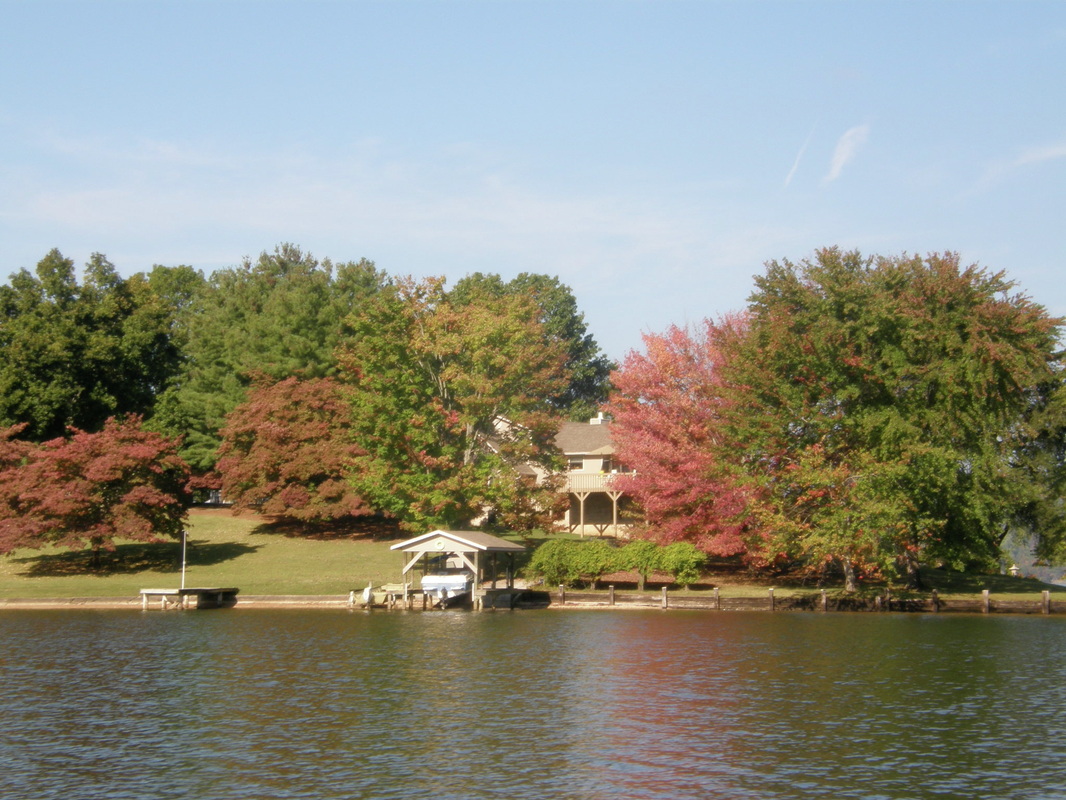
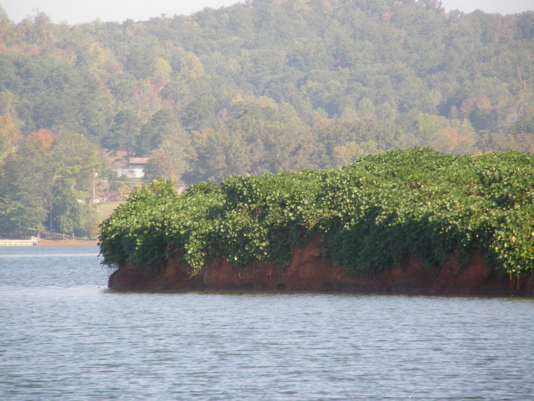
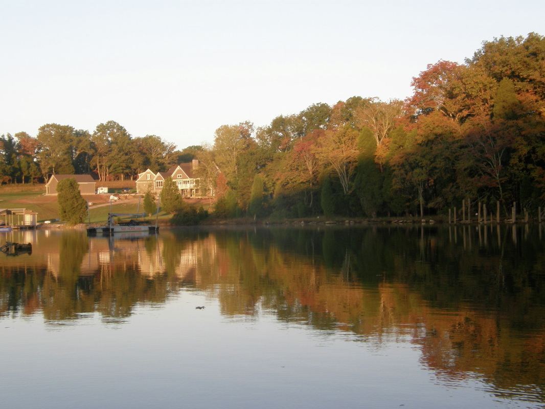
Chickamauga Lake & Watt's Bar
Up later than usual for no apparent reason except that the roof of the covered moorage obscured the morning sun and there was absolutely no noise at all. After breakfast, we packed the wet things that were drying and had to find Boots, who decided that this moorage is pretty wonderful. We settled up with Terri and backed out of the marina at 1100 hours. We have an open-ended day with several options for anchoring.
The Chickamauga Lake is wide and calm through this section. There is a predictable pattern of development: large houses and more structures are typically closer to the dams where the lake is wider and closer to the highway that is near the dam. The river was a great serpent today with steep bends and close curves. At the beginning, there were will hills rising from the lake’s shore and these gave way to a flat, ancient riverbed that is now farming and ranches with cattle grazing near the shore. Soon, there were almost no structures on the shore. We faced a fresh breeze all day that kicked up the water some but did not affect our normal speed of 6.5 knots. The sky was filled with pillow-like clouds but no rain would fall.
Mid-day, we poked into the junction of the Hiwassee River and went around a set of marshes and islands that make up part of huge expanse of wildlife refuge. This river is navigable across two other states but on this day, we would enjoy about 6 miles of it and return to the Tennessee River and head eastward.
On this day and the past several days, we have seen single trees, standing in shallow water but near a point of land, and their height is not often over 30 feet and often times quite short. What is striking about these trees is their precise and delicate symmetry, like a huge Bonsai Tree, and we half-expected to see them tended by ancient-looking but dedicated Asian people.
During the afternoon, we passed another milestone of boating 800 river miles since LeClaire, Iowa. When you are doing it at 8 miles per hour, you see the scenery in detail, bad things rarely happen and you have a lot of conversation along the way.
Chickamauga Lake ended at the Watt’s Bar Lock and Dam and 530 river miles from the junction at the Ohio River. We were lifted nearly 60 feet to the wide expanse of Watt’s Bar Lake that is known for its many islands and recreational opportunities. Industry had faded from this part of the lake several years ago so the barge traffic is minimal. Laurie knew from her conversations with fellow Loopers of several anchoring options near the dam. Late in the afternoon, we dropped the hook in the Lower Branch Cove in about 9 feet of water. The anchor set quickly and we left Boots in the cockpit to do a dinghy ride around the area. There are many beautiful lakefront homes that we learned are often owned by people from Atlanta where the years of drought have evaporated many lakes and several families would join in together to form their own informal time-share arrangement to jointly own and maintain these small estates.
We grilled seasoned chicken breasts and enjoyed a tossed salad before showering and enjoying a movie. By sunset, the 65-degree night air was still and we are floating on a mirror surrounded by trees turning in their autumn colors.
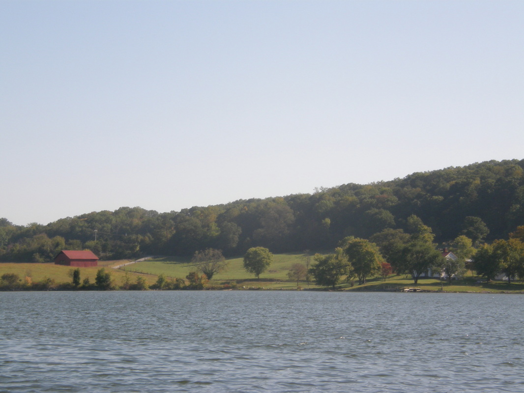
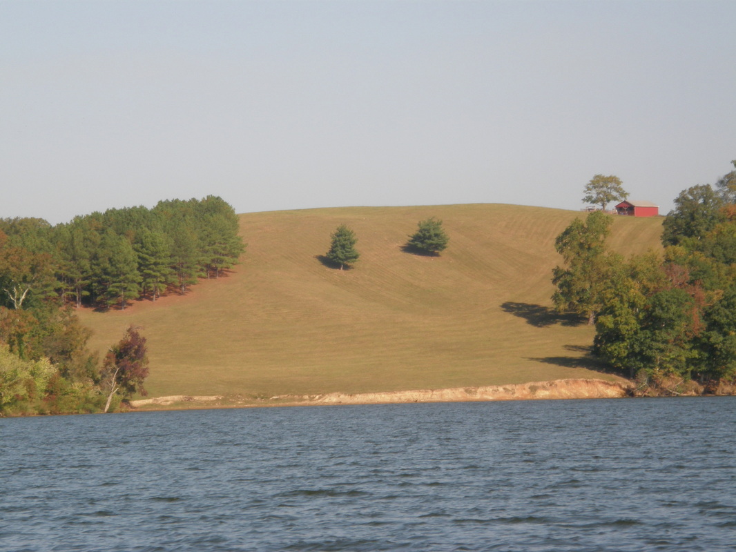
Meeting Old Friends On Watts Bar Lake
Clear skies brought out an amazing collection of stars and a partial moon and when the sun rose, there was very little fog and only the slightest of breeze. We spent some time weighing our options about renting a car and motoring through the Great Smokey Mountains National Park that was about 2-½ hour drive from the nearest marina. We opted to explore the area by boat.
Watts Bar Dam Lake is unlike anything that we had encountered before because it is dotted with many, many islands, has many peninsulas with the accompanying coves and medium sized bays that reach past the main channel on both sides. One such bay is fed by Piney Creek and we explored this bay. If I took a panoramic shot of this bay using 7 individual photo shots, you would see different scenes: a small marina, isolated and forested islands, and then homes and yards that could be on Lake Washington because they are huge, intricate and with great attention to landscaping.
After this, we took the small boat short-cut route between two islands. This route is not appropriate for a boat larger than 30 feet long. Not because of the depth, the minimum was 6 feet, but because of the width of the channel, only 20 feet in places and the extremely tight turns that even with our little tug, we took at idle speed. We felt we were in a bayou with trees overhanging close to the boat.
Laurie did the calculations on our fuel use on our effort over the last week to be fuel-efficient. We had reduced our speed from 7.4 knots (or 8.1 miles per hour) to an average of 6.5 knots (or 7.1 miles per hour), or by 12%. The results were that the tug went 4.6 miles to the gallon or burned 1.4 gallons per hour. Our previous performance was 3.1 miles per gallon or burning 2.1 gallons per hour. The mileage increased by 48% and the gallons per hour rate improved by 32%. This result also increased our effective range from 200 miles to 275 miles (a 38% increase) and we still have a 20% fuel reserve.
For us, the two categories of expenses that are most control-able are fuel and moorage. The less or slower you motor, the less you pay and the more times at anchor, the more you save. We have eaten out only four times, therefore, reducing our food budget or other expenses would impact the quality of the experience.
We left the marina and searched for a new place to anchor. The unfolding scenery continued to entertain us with its diversity and richness. We took another short cut around Thief Neck Island and joked about the real meaning of this name. A book needs to be written of interesting place names of Tennessee. Laurie found a great cove that had several turns in it for wind protection and we anchored in 7 feet of water at 3 PM to a rising thermometer, 92 degrees and in front of several large houses under construction.
Kerry and Charlie called as we were having a beer in the cockpit. They were 10 miles from us and decided to hoist their anchor and join us. After they set their anchor, they waved for us to come over and so we rowed the dinghy over and enjoyed their company for the next two hours. We were drinking our favorite Mexican beer, Modelo, and Kerry said, “I do not understand how you can like a beer that needs a slice of lime to make it taste right, it is like it wasn’t finished brewing. So, have a Busch and rinse your mouth out.” We told stories and laughed as the sun went down. They talked about the local people, (“Grain-fed country boys.”), food (“Cat head biscuits, or a biscuits that is the size of a cat’s head.”) and people who do foolish things (“Between them, they do not have two brain cells to rub together.”).
After saying our good-byes, we had dinner and watched the final episode of Roots on the laptop.
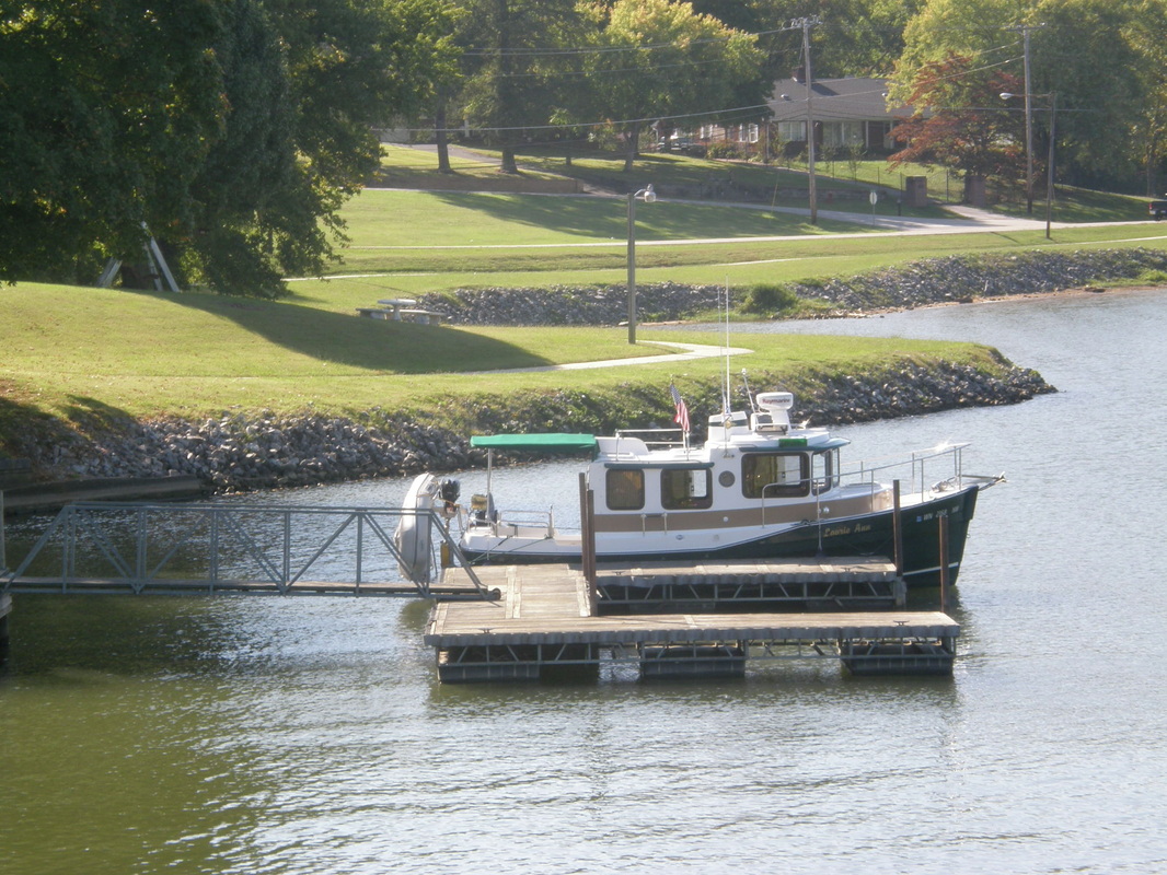
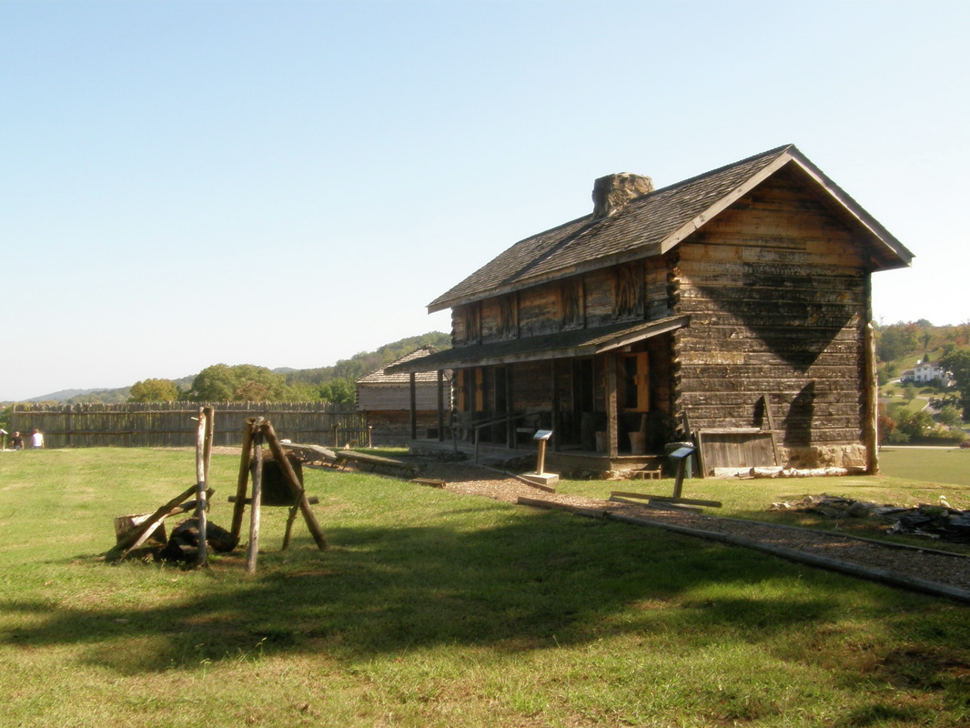
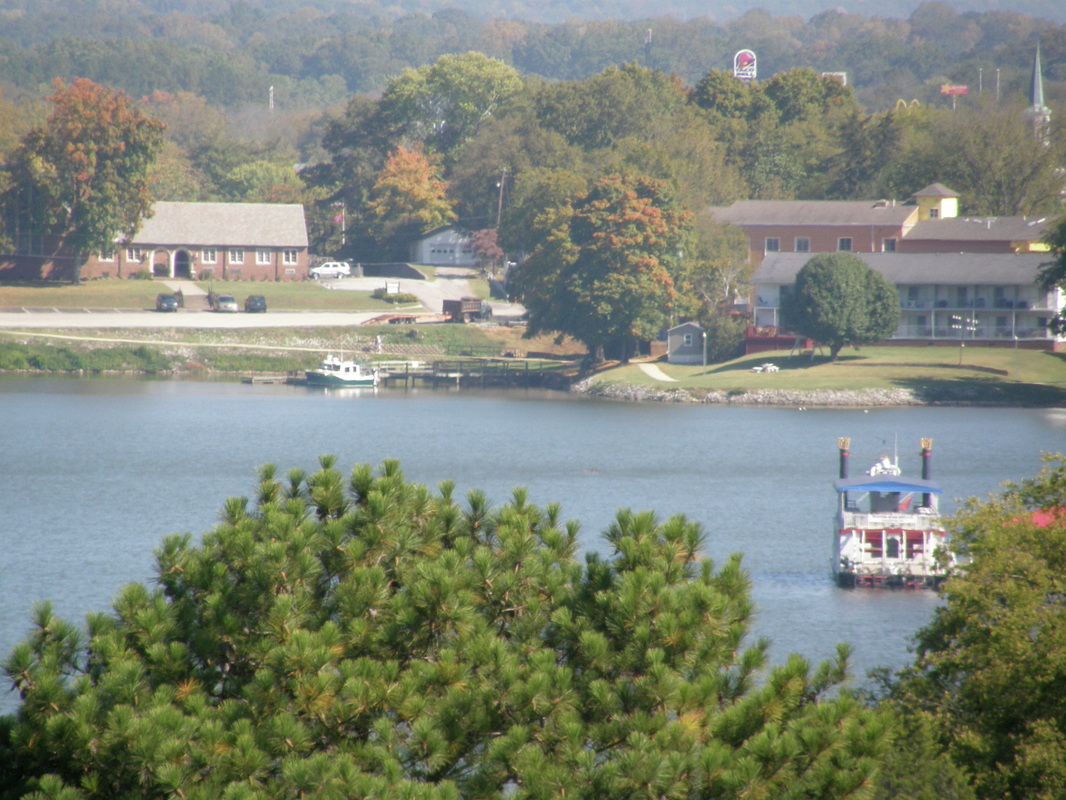
Kingston, Tennessee: Our Turn Around Point
Another great October day in southeast Tennessee and the weather radio says that more of the same for the near future and that temperatures are “unseasonably” warm. We headed upstream on the Tennessee and watched Kerry and Charlie head downstream. There are some, and perhaps only a few, people that you really like immediately and know that a depth of friendship will always be there; Kerry and Charlie are one of those.
Laurie had identified the small town of Kingston as our destination for exploration. In two hours, we arrived at the confluence of the Tennessee and Clinch Rivers where Kingston had been founded in the early 1800’s with a fort. We found a small city dock with the prominent sign of no overnight docking. The dock was 22 feet long in 5 feet of water and we slid up to it nicely using the bow and stern thrusters. We unloaded and set up the folding bicycles and set out on the beautiful sidewalk that goes along the river only to find the prominent sign of no bikes, no skates, and no anything except walkers. We made the decision that because we were out of state visitors, therefore either we could not comprehend their sign or it did not apply to us. The alternative of riding on the non-existent shoulder on the busy state highway was promptly rejected.
The historic part of Kingston was four nicely restored southern style buildings, red brick with tall, thick, white columns. We discovered Fort Southwest Point, run by the Daughters of the American Revolution, funded through a short list of city and state resources, has a visitor center and the beginnings of a reconstructed fort that sits on the actual foundations of the original fort. The visitor center was nicely done and we enjoyed the artifacts and the fort’s story. This was the most southwestern point of the United States until 1808 and the mission of the 645 soldiers was to escort settlers across the Cherokee land to ensure that the settlers did not homestead it.
We cycled back to the boat, had lunch and we were met by a local man who saw our little tug at the dock and our Looper flag and came down to look over the boat and tell his story of doing a part of the Great Circle Loop. Laurie and I decided that Fort Southwest Point, at the junction of the Tennessee and Clinch River, at Mile Marker 568 was the appropriate place to end our upriver trek. We headed out, now downstream and trying to keep in mind that the green buoys would be on the starboard side and the red ones on the port.
Mid-afternoon with the heat rising, we found a suitable cove to spend the night at Mile Marker 548 that was tucked in and around a couple of bends from the main channel. The cove, called Pearl Harbor, was narrow and deeper than most at 20 feet, so after setting the anchor, we pulled out the stern tie line and set the Laurie Ann between two fixed points, a tree and the anchor.
